GEOAI
Azure Clouds Rebrands as Mapex AI with Global Vision
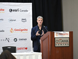
Mapex AI, a next-generation geospatial intelligence company, has officially launched global operations with the opening of its new client servicing office in Toronto, Canada. Formerly known as Azure Cloud Services and founded in India, Mapex […]