Earth Observation
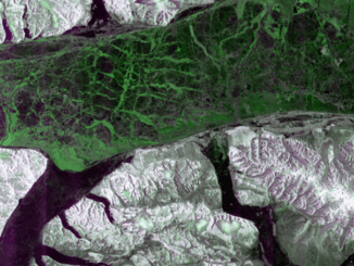
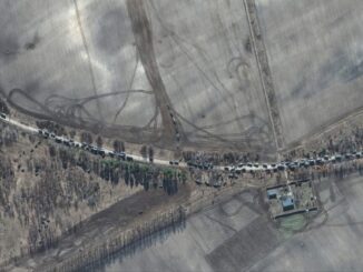
Canada is on Fire: Maps, Satellite Data, Smoke Forecasts Powering Emergency Response
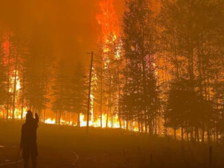
Wildfires are raging across Canada — from British Columbia to Nova Scotia — in what is fast becoming another catastrophic fire season. Hot, dry weather and shifting wind patterns are converging to create another intense […]