Seabed 2030
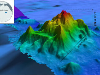
Mapping the Deep: Our map of the ocean remains a work in progress
These days, when you look at Google Maps, Google Earth, or other web maps you are probably left with the…
Memorial University’s Marine Institute joins global endeavour to map ocean floor
The Nippon Foundation-GEBCO Seabed 2030 Project has announced a new partnership with the Memorial University of Newfoundland’s Fisheries and Marine…
International Geospatial Briefing for August 22nd, 2022
Mapping Earth’s deepest points, the collision of Geology and Geospatial ISS to get a new hyperspectral remote sensing lab A…
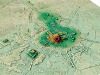
International Geospatial Briefing July 11th: 1. Quarter of Earth’s Seafloor Mapped; 2. Seabed Mapping App; 3. NOAA Joins Effort to Map Ocean Floor; 4. UN Satellite Centre and NVIDIA Boost Sustainable Development Goals; 5. Geospatial Workforce Challenges; 6. Digital mapping settlements in the pre-Columbian Amazon
Nearly a quarter of Earth’s seafloor now mapped The Seabed 2030 project aims to have the entire earth’s seafloor mapped…
International Geospatial Briefing Nov 22: 1. Two million square km of the seafloor mapped. 2. Importance of marine geospatial data. 3. Using smartphones to map road potholes. 4. Into the metaverse. 5. The Geography of Mysteries. 6. Mapping our human footprint.
NOAA Ocean Exploration Meets Major Mapping Milestone on NOAA Ship Okeanos Explorer The National Oceanic and Atmospheric Administration (NOAA) has reached…
International Geospatial briefing for 30th November: Mapping the Ocean floor; Geospatial COVID-19 Vaccine distribution; Sydney beaches drone monitoring; UK Map sales soar; Software without Geospatial power has lost the plot.
Which Countries are Mapping the Ocean Floor? Significant progress has been made in Earth Observation around the world. Thousands of…