Community
GoGeomatics Awarded Contract: Maintenance of Canada’s Largest Enterprise GIS
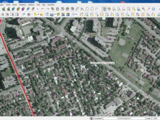
‘Twas the week before Christmas and GoGeomatics has been called in to assist one of the largest non-profit clients in the world. This client operates world wide but the base of operations is in Canada. It […]