Standards
Free Webinar March 15th: NRCan, OGC, & USGS Arctic Spatial Data Pilot Demonstration
The Canada Centre for Mapping and Earth Observation invites you to attend the Arctic Spatial Data Pilot Demonstration Webinar. Managed and…
My COGS GIS Education
What About COGS The Centre of Geographic Sciences (COGS) is one of the best colleges in Canada for learning GIS. …
Top Ten Climate Change Maps and GIS Applications
Awareness for climate change has been steadily increasing ever since the Green Revolution in the 1960s. There is a plethora…
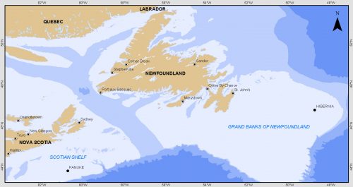
Grand Banks to the Gulf of Mexico: My Canadian Geomatics Career
I often contemplate what it would have been like working at the same job for an entire career. Mind you,…
Interview with Sam Scovill, GIS Technician and 3 Day Champion on Jeopardy
Every weeknight, my mom and I watch Jeopardy together. Jeopardy always starts with the announcement of the contestants by their…
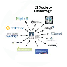
The Integrated Cadastral Information (ICI) Society and ParcelMap BC
This is the first of two articles on the release of ParcelMap BC Data, which we see as a significant…
The Future of GIS Software? QGIS A Popular Open-Source GIS for the Masses
In today’s geomatics society, ArcGIS, developed by Esri, is a giant and dominates the GIS software market. However, there are…
Canadian Geomatics Innovation: Ecere Develops a Next Generation GIS
Not many companies undertake the ambitious goal of creating a new geospatial software suite from scratch. Ecere, a Canadian company…
Easy Access to Data: The CGDI Initiative
The Canadian Geospatial Data Infrastructure (CGDI) is an initiative of Natural Resources Canada that began in 2001. The CGDI does…
Canadian Surveyors “Remark” on History with Elk Pass Boundary Restoration Survey
The Alberta-British Columbia Boundary Commission has just completed a monument restoration survey to restore a number of deteriorated provincial boundary…
Open Geospatial Consortium adopts the OGC SensorThings API as an official standard
The Open Geospatial Consortium (OGC®) has adopted SensorThings API Part 1: Sensing as an official standard. The OGC SensorThings API…
Canada Takes Part: Arctic Spatial Data Infrastructure Meets in Anchorage
The Arctic SDI Board, which includes mapping executives from Canada, Kingdom of Denmark, Finland, Iceland, Norway, Russia, Sweden and the…


