Statistics Canada
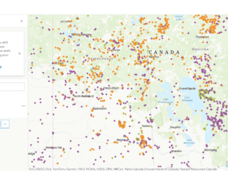
How remote are remote communities?
This is a fascinating question. However, none of us have ever empirically addressed this query. What is it that decides…
Federal Government Jobs Showcase & Roundtable Discussion
GoGeomatics celebrated Geography Awareness Week and GIS day 2022 by hosting a series of talks and webinars. We could not…
GoGeomatics announces: Geography Awareness Week Program 2022
GoGeomatics is celebrating Geography Awareness Week and GIS day 2022 by hosting a series of talks and webinars. The first…
Celebrate GIS Day and Geography Week: Western Libraries & Statistics Canada
GoGeomatics announces: Geography Awareness Week Program 2022 GoGeomatics is celebrating Geography Awareness Week and GIS day 2022 by hosting…
Covid-19 and the Effects on Urban Lifestyle
Covid-19 caused rapid changes to people’s lifestyles. Travel, trade, and social space are a few topics, among many, changed by…
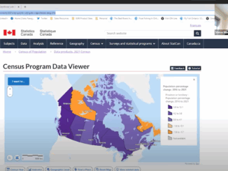
Collaboration of VertiGIS and Statistics Canada Update Census Program Data Viewer
Overcoming Challenges to Make Complex Data Accessible to All VertiGIS and Statistics Canada presented the collaborated result of the…
Canadian Geospatial Briefing Feb. 7th: 1. Canada is dropping ocean sensors; 2. Calgary’s Chinatown has new mapping; 3. Canadian cities are losing greenspace; 4. Government funding announced for Earth observation sector; 5. GoAigua and WatSyn Solutions join forces
How a sailboat helped Canada drop ocean sensors in the remote south Atlantic to study climate change Canada is partnering…
Five Canadian Events for GIS Day 2021
Statistics Canada Statistics Canada is hosting their second virtual GIS Day, featuring a virtual booth, panel discussions, and a live…
Accuracy and Precision [Part II]: Identify GIS Data Inconsistency: Examples From Toronto’s Open Data Portal
This article is the second part of the accuracy and precision series, which discusses data characteristics, examples of data inconsistency…
Statistics Canada’s virtual GIS Day
GIS day is a great opportunity for all GIS communities to come together and network. Statistics Canada hosts its second…
Measuring Access to Services: International and Canadian Experiences in Rural Analysis
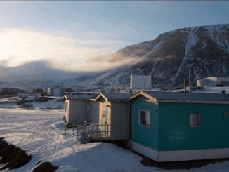
The growth of open geospatial data and tools provides new opportunities to map accessibility to services for rural and remote…
The International Geospatial News Story of 2020: location technology in the fight to beat the pandemic
The GoGeomatics editors, writers and online managers discuss stories each week that we would like to share with the community.…