Technology
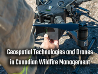
Geospatial Technologies and Drones in Canadian Wildfire Management
Introduction 2023 marked the most severe wildfire year in history, underscoring the crucial need for more effective and efficient wildfire control and extinguishment. Some regions in Canada frequently experience dry and hot summers, creating favorable […]

