universities
Open Geospatial Consortium adopts the OGC SensorThings API as an official standard
The Open Geospatial Consortium (OGC®) has adopted SensorThings API Part 1: Sensing as an official standard. The OGC SensorThings API…
Canadian GIS Ambassador Program: Interview with Brent Hall, Director of Education & Research at Esri Canada
Interview with Brent Hall, Director of Education and Research at Esri Canada and, along with his staff, the initiator of…
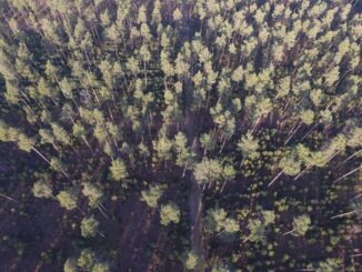
UAV Technology in the Canadian Forestry Sector
The Unmanned Aerial Vehicle (UAV) industry is soaring! Civilian drones are being applied in various global industries ranging from agriculture…
Jobs: Career Challenges for Canadian Students and Recent Graduates in GIS
The Challenges As a recent graduate (2013) of GIS training at BCIT in Burnaby in addition to an Honours Bachelor…
OGC Seeks Sponsors for FutureCities Pilot
The Open Geospatial Consortium (OGC®) in collaboration with buildingSMART International (bSI) invites sponsorship in a pilot project to help cities…
Governments of Canada and Manitoba invest in building state-of-the-art Churchill Marine Observatory
Shelly Glover, Minister of Canadian Heritage and Official Languages and Minister responsible for Manitoba, and Manitoba Premier Greg Selinger visited…
PredictION: Routing & Modeling App for Proposed Transit Projects
PredictION is an app that provides transit authorities with a unique approach to engage and inform the public. By making…
CloverPoint to Showcase Insight(TM) and Latest in Mapping Technology at TECTERRA 2015 Geomatics Show
CloverPoint will be presenting our latest GIS, mapping, and land management solutions used by First Nations, and facility managers at…
Remote sensing sheds light on Earth’s surface at UVic
The University of Victoria is partnering with the province to develop new ways of using airborne sensors to gather information…
Intergraph and Esri Collaborate to Support Public Safety and Security
Intergraph®, a global leader in public safety solutions, and Esri®, a global leader in GIS technology, are collaborating to enhance…
CloverPoint Celebrates 23 Years in Geospatial Technology
CloverPoint, a leader in GIS, mapping, facilities management, and location technology is pleased to be celebrating 23 years in business.…
The Canadian Geomatics & Geospatial Community Awards, Scholarships & Bursaries
The Canadian geomatics community is full of awards, scholarships, and bursaries recognizing outstanding work and contributions. We’re putting together a…