urban sprawl

GoGeomatics Editors & Writers Picks of Important Canadian Geo Stories of 2022

Zalak’s Pick: Restoring the Great Lakes is a Multination Effort George’s Pick: GIS Used to Map Canadian Health Access Gaps…

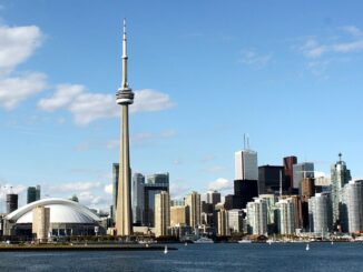
Facing further challenges in Toronto’s urban growth

In my last article I examined the use of GIS technology to track land use change in three downtown Toronto districts, an area representing one of the urban growth centres designated by the Places to…

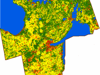
Figure 3: Unsupervised classification result of Simcoe County.

Using GIS to Examine Leapfrog Development Beyond the Ontario Greenbelt

Since its establishment by the Ontario government in 2005, the Places to Grow Act is a policy envisaged at curbing…