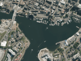
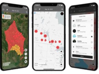
Vancouver
Geography: Thinking About Walking Home
Walking Home is a book by Ken Greenberg on ‘the life and lessons of a city builder’. It describes the…
Georeferencing Scanned Maps Using QGIS
One of the passions of modern day information technologists is to convert the past to digital form and to put…
GoGeomatics Coming to Kelowna, BC
As a former Burnaby resident and fairly new to the field of GIS as a 2013 graduate of BCIT’s GIS…
Putting Map Making Back Into the Hands of the Community
On April 7th, I attended the community mapping showcase at the NSCC Centre of Geographic Sciences (COGS). This project is…
SNRC: UAV Integration Highly Valued in Canadian Marketplace
Due to a foreseeable increase in the demand for UAV acquired aerial imagery in resource management, various firms are already…
Vancouver: Using QGIS TimeManager for Analysis of Crime Data
We typically think of a GIS as features on a map with a maximum of three dimensions: Longitude Latitude Height…
2016 Canadian Geomatics Events & Conferences
This is our list Canadian geomatics conferences and events for 2016. Here you will find events pertaining to GIS, remote…
BCIT GIS Survey: should we offer a new type of GIS program?
The BCIT GIS department is undertaking a needs assessment to determine the feasibility of offering an Advanced Certificate in GIS…
Looking Back at GoGeomatics Groups in 2015
When I started GoGeomatics Canada in 2011, I had no idea how successful it would become as a community. We…
Open Data, Open Source, Open Possibilities
Back in 2006 I (Jim) was a student at BCIT and a Vancouver resident, eager to obtain some local data…
Local Action & Geomatics: the Gowgaia Institute on Haida Gwaii
This blog is a sequel to last month’s discussion on ‘think global, act local‘. It looks at the the Gowgaia…
District of Squamish Wins Esri Canada’s Award of Excellence in GIS
VANCOUVER, Esri Canada User Conference – November 17, 2015 – The District of Squamish is a fast-growing municipality between the…