water

50 Years a Geographer: My Top Ten books about Geography

In celebration of Geography Week, it seemed like a good idea to issue a challenge: list the top ten books…

The Importance of Students & Young Professionals in Canada’s Geomatics Community

With the help of our sponsors GoGeomatics Canada is bringing students and young geospatial professionals together at 11 events from…

How Canadian Remote Sensing Was Made Commercially Successful & Exportable

This piece started as a note on some of my experience as an international consultant in remote sensing specifically and…

LiDAR in Canada: Conversation with Dr. Chris Hopkinson Research Chair Remote Sensing University of Lethbridge

The author Bob Maher (BM) and Chris Hopkinson (CH) both worked as scientists at the Appied Geomatics Reearch Group (AGRG)…

BCIT GIS student project Tetrad

Become a BCIT GIS Student Project / Practicum Sponsor

The BCIT GIS department has been graduating students for 25+ years.  Our students come from BC, but as well, across…

Canadian Institute of Geomatics Expands Executive Team with New VP Dr Brent Hall

Ottawa, August 16, 2016 – 
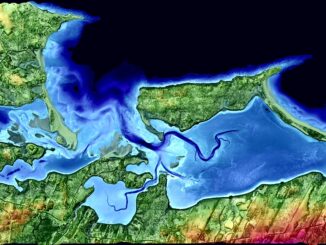
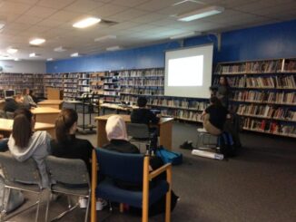
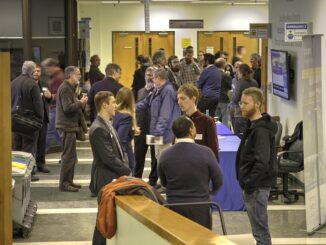
The Canadian Institute of Geomatics (CIG), the largest and most influential geospatial knowledge network in…

Canadian GIS Ambassador Program: Interview with Brent Hall, Director of Education & Research at Esri Canada

Interview with Brent Hall, Director of Education and Research at Esri Canada and, along with his staff, the initiator of…

The Most Fun You’ve had with Geomatics: ‘Pokémon Go’ Comes to Canada

The geospatial community has been “abuzz” since a game called called “Pokémon Go” landed on cell phones in Australia and…

Drone World Expo Conference Program Will Provide a Road Map for Commercial Drone Solutions

A world-class conference program and several new educational and networking features will take place at the 2nd annual Drone World…

Georeferencing Scanned Maps Using QGIS

One of the passions of modern day information technologists is to convert the past to digital form and to put…

Teledyne Optech introduces low-cost, automated airborne surveying at GEOINT 2016

Teledyne Optech is pleased to announce that it will showcase its latest airborne systems including the autonomous Optech Eclipse at…

Northern Canada: Nunavut and a New View of Community Mapping

The writer and his wife, Heather Stewart visited grandchildren in Iqaluit for three weeks in April During the first week…