Technology
Canadian Geospatial Digest April 17th, 2023
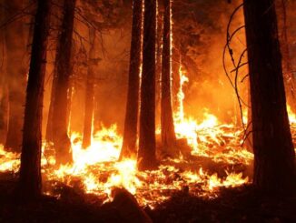
Minerva Intelligence launches Canada’s first wildfire risk map using AI and ML Alberta grain elevators preserved in virtual reality W5, CTV creates a map of asbestos cement pipes delivering drinking water in Canada University of […]

