
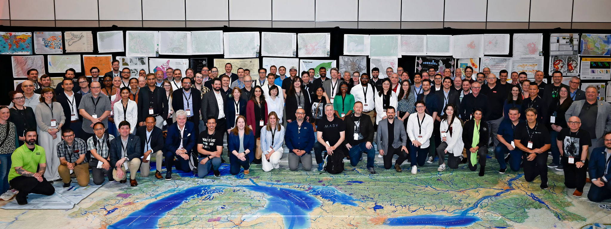
We at GoGeomatics Canada would like to extend our heartfelt thanks to all the sponsors, participants, and supporters who made GeoIgnite 2025 such a tremendous success. It has been an incredible experience, full of inspiring conversations, cutting-edge technologies, and valuable collaborations that will shape the future of Canada’s geospatial community.
A Special Thank You to Our Sponsors
GeoIgnite 2025 would not have been possible without the generous support of our sponsors. Their dedication to advancing the geospatial field and investing in Canada’s leadership has played a crucial role in making this event a reality.
A big thank you to our Gold Sponsors — buildingSMART Canada, Hexagon, Esri Canada, and NV5 Geospatial. Your extraordinary support has elevated this event and made it a milestone in Canada’s geospatial sector. We are truly grateful for your commitment to pushing the boundaries of geospatial innovation.
Our Silver Sponsors — EarthDaily Analytics, PacGeo, and OnPar Solutions — for playing a crucial role in ensuring the event’s success. Your contributions and expertise have been instrumental in driving forward the conversations that matter most to our industry.
We also want to express our gratitude to our Bronze Sponsors — including Amazon Web Services, Maxar, and Planet. Your involvement has been critical in bringing this event to life and supporting Canada’s growing geospatial ecosystem.
Our Government Partners
We would like to extend a sincere thank you to our government partners, especially Natural Resources Canada and the Canada Centre for Mapping and Earth Observation, whose contributions continue to strengthen and grow Canada’s geospatial community. We also appreciate the support of the Department of Fisheries and Oceans and the Department of National Defence for their engagement in this year’s event.
The exhibitors
A special thank you goes out to all our exhibitors. Your participation brought a dynamic buzz of excitement to the exhibition floor, fostering active engagement and creating a vibrant space for networking, learning, and sharing new ideas. Your contributions made the event even more impactful.
- Acorn Information Solutions: Delivers GIS solutions and services, helping organizations manage and analyze spatial data effectively.
- Amazon Web Services (AWS): Provides a comprehensive suite of cloud services, enabling organizations to process and analyze vast amounts of geospatial data.
- Archistar Pty Ltd: Leverages artificial intelligence to revolutionize urban planning and architecture, enhancing design processes and outcomes.
- Blue Marble Geographics: Known for advanced geospatial software, offering solutions for coordinate transformation and data integration.
- CATALYST, PCI Geomatics: Offers powerful remote sensing and photogrammetry software, enabling precise geospatial data analysis.
- Dalux: Specializes in digital construction solutions, integrating BIM and AR technologies to streamline building processes.
- Eagle Engineering and Consulting: Provides engineering and consulting services, focusing on geospatial data applications in infrastructure projects.
- Geo-Plus: Delivers geospatial software solutions for land management and planning, enhancing decision-making processes.
- Global eTraining: Offers online training solutions, providing courses in geospatial technologies and software applications.
- EarthDaily: Provides satellite-based Earth observation data, supporting environmental monitoring and resource management.
- Esri Canada: A leader in GIS technology, offering innovative mapping and spatial analytics solutions across various industries.
- Hexagon: A global leader in digital reality solutions, combining sensor, software, and autonomous technologies to boost efficiency and safety.
- infoSAT Geomatica: Provides satellite communication solutions, supporting geospatial data transmission and analysis.
- Jakarto: Specializes in geospatial data management and analytics, providing tools for efficient data processing.
- Leica Geosystems: Offers precision measurement instruments and software, enhancing geospatial data collection and analysis.
- Maxar: Specializes in space-based Earth intelligence and geospatial solutions, delivering critical insights to organizations worldwide.
- Natural Resources Canada: Provides geospatial data and resources, supporting sustainable resource management and environmental protection.
- OnPar Solutions: Provides actionable intelligence through geospatial and open-source solutions, supporting compliance, risk management, and threat intelligence.
- Pacific Geomatics: Offers high-resolution satellite imagery and geospatial data solutions for various applications.
- Planet: Operates the world’s largest commercial fleet of Earth-imaging satellites, providing high-frequency, high-resolution data for global monitoring.
- Qwhery: Specializes in geospatial search technologies, enabling efficient location-based data retrieval.
- Terrasolid: Offers software solutions for processing LiDAR and photogrammetric data, supporting geospatial modeling and analysis.
Acknowledging the Collaboration of Our Community
GeoIgnite 2025 wouldn’t have been the success it was without the collaboration and dedication of everyone who participated. From the program chairs to the speakers, exhibitors, and attendees, your involvement helped create an environment of learning, innovation, and collaboration.
We would like to extend our special thanks to all the thought leaders and experts who contributed to the discussions, making this event a powerful platform for showcasing the latest geospatial technologies and industry trends.
Associations Partners
GeoIgnite 2025 was proudly supported by esteemed professional associations from Canada and around the world, all working toward advancing the geospatial sector. These include:
- Association of Canada Lands Surveyors (ACLS)
- Bespatial Ontario
- Canadian Association of Geographers (CAG/ACG)
- Canadian Cartographic Association
- Canadian Hydrographic Association
- Go Open Data
- Open Geospatial Consortium
- Ontario Association of Certified Engineering Technicians and Technologists (OACETT)
- Space Canada
- Subsurface Utility Map Data Exchange (SUMDEX)
- World Geospatial Industry Council
Media and Event Sponsors
GeoIgnite 2025 also had the support of a distinguished group of media and event sponsors, whose contributions help amplify the conference’s reach and impact within the geospatial community. These sponsors play a key role in connecting industry professionals and promoting the latest innovations in geospatial technology.
- Canadian GIS.com
- Coordinates Magazine
- CT Today
- Metals & Mining Review
- Geo Week
- Geoff Zeiss Between the Poles
- Baliz.ca
- Commercial UAV Expo
- LidarCanex
- GoGeomatics Expo
- Horizons WGIC
- SAGES
Thank You to All Participants
To all the participants who joined us in Ottawa and virtually — thank you. Your engagement, enthusiasm, and commitment to building a stronger geospatial ecosystem in Canada are what make GeoIgnite so special. We hope you leave with new insights, valuable connections, and a renewed sense of purpose in your work.
As we look back at the success of GeoIgnite 2025, we’re reminded of the incredible work that’s happening across Canada’s geospatial sector. We believe that through continued collaboration, innovation, and dedication, Canada can continue to lead on the global stage.
We are excited for the future of our geospatial community, and we look forward to seeing how the connections made at this year’s event will shape the next chapter of geospatial advancement in Canada.
GeoIgnite 2025 was a true testament to the power of collaboration, and we can’t wait to continue this journey with all of you. See you next year!


Be the first to comment