Hear how the use of geomatics has become an integral part of government systems that address issues such as, climate resiliency, flooding, forest fires and public health. This program allows all levels of government to demonstrate how they have enhanced the lives of Canadians using geospatial technology.
Presentations & Discussions
Positioning for Future Headwinds: A New Era of Working with Governments
Changes have fundamentally resculpted how government operates and, as we move toward new global alliances and economic pressures, old ways of doing business with government will need to change. Join to hear the significant issues that the geospatial and space community will face as they seek to operate in governmental environments that are experiencing dramatic structural (internal) change; undertaking service reform; and the broad range of funding opportunities available to geospatial communities.
Land, Sea & Air – Making Geospatial Data & More FAIR
With climate change comes a massively increased risk to billions of people due to disasters, reduced food and energy security, environmental degradation, and sea level rise to name a few. The global OGC community has mobilized to improve how well we connect land, sea, and air geospatial data and information, improve regional connectivity between various SDIS at different maturity levels, and unlock the value of data previously hard to find. Importantly, the community is focused on practical work to demonstrate “the how” for Disaster, Climate, Marine, Agriculture, Cities, and much more.
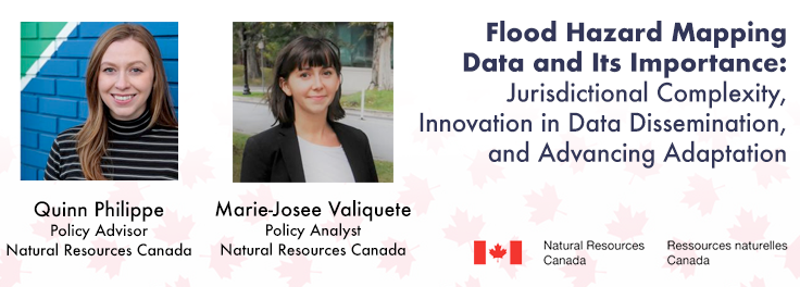
The presentation will provide an overview of FHIMP’s comprehensive approach to flood hazard data, covering acquisition and mapping projects, open data dissemination platforms, and the policy implications and engagement required to convey this data in Canada – where jurisdictional authority for flood risk management largely lies with provinces and territories. See how data will inform cutting-edge geospatial innovation, including work on a new regional flood hazard models that leverage the Canada Centre for Mapping and Earth Observation’s (CCMEO) machine learning and AI expertise to create value-added geospatial products and analysis for all Canadians.
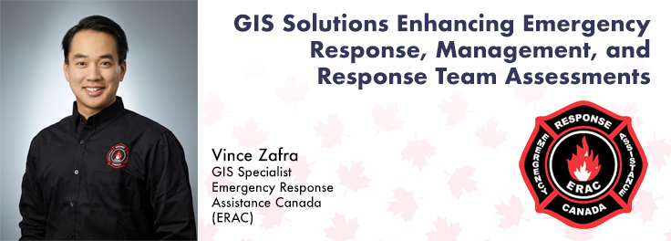
GIS Solutions Enhancing Emergency Response, Management & Response Team Assessments
Incidents involving dangerous goods, including flammable gases and liquids, can happen at any time and in any place. When they do, Emergency Response Assistance Canada’s 320+ members count on us to provide a safe and effective emergency response 24 hours a day, 365 days a year. Various GIS solutions exist within Emergency Response Assistance Canada (ERAC) to support these functions. This presentation will outline ERAC’s GIS solutions along with providing a more detailed look at the training, assessment, and approval platform.
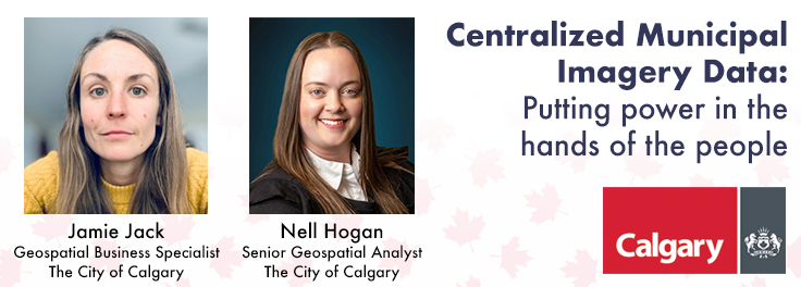
Centralized Municipal Imagery Data: Putting Power in the Hands of the People
Harnessing the power of regular collection of imagery and Lidar, the City of Calgary provides valuable information for municipal service delivery. The City publicly shares various datasets in different formats, including Orthophotos, Lidar, and 3D buildings. Beginning in 1990, the Aerial Imagery Program supported planning, development and operations. Regularly collecting spatial data allows for more accurate assessments of changes over time. Annual Orthophoto collection aids in confirming changes, while regularly collected Lidar provides accurate Digital Elevation Models (DEM) and 3D building information for analysis, planning, and modelling.





Be the first to comment