
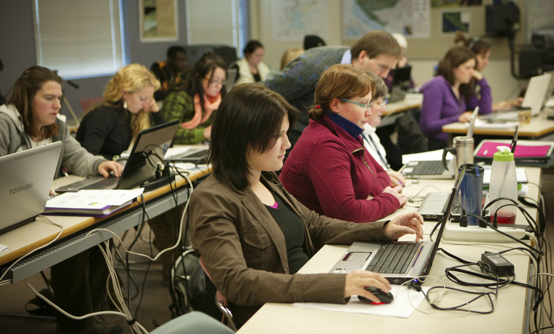
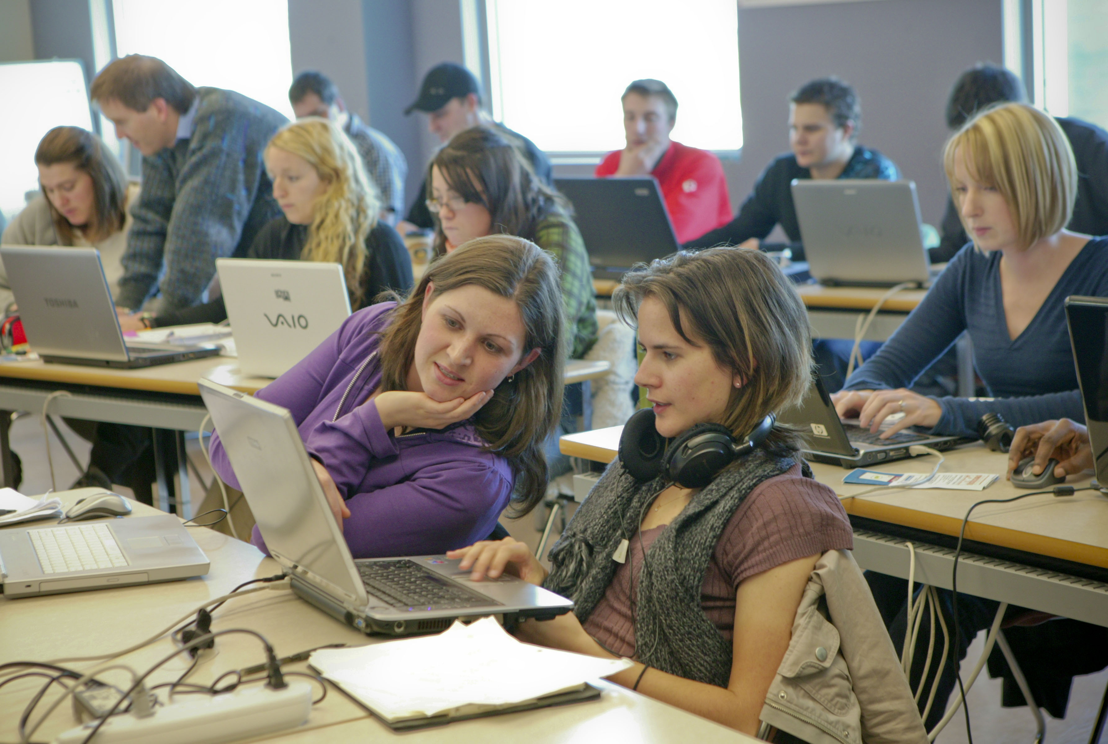
Students don’t need to be located in Nanaimo, British Columbia to get a post-graduate diploma in GIS applications from Vancouver Island University. VIU offers their Advanced Diploma in GIS Applications (ADGISA) in both Face-to-Face and Online teaching modes.
The Face-to-Face version provides a valuable twist. After an intensive four months of hands-on training in a dedicated classroom setting, students then spend the next four months using GIS as a tool in resolving a real-world geographic or spatial problem of their choice. This problem must mutually benefit the student and the sponsor. As a result, a number of local and regional businesses, industrial firms, government agencies, crown corporations and research institutes have provided project opportunities. The four-month project, which may be paid, has been designed so that students will be fully job-ready upon graduation. In this way, VIU’s program emphasizes the use of GIS as a practical tool in resolving geographic problems, as opposed to learning how to develop GIS software and resolve computer hardware and networking problems.
The ADGISA program is also delivered in a fully online format, with all resources, lectures, lab assignments and exams being delivered online. Because everything is delivered online, and designed for access at any time, students can participate from anywhere in the world, as long as they have Internet access. This program delivery runs over 16 months, and has been designed for students who are currently in the workforce, or who simply need or want to work from home. Classes are delivered over a longer period, and the practicum has been replaced with three specialty courses in Programming, Remote Sensing, and Global Positioning Systems.
The curriculum of both versions of the program has been designed to strengthen a student’s understanding of basic geographic and cartographic principles, while at the same time gaining hands-on experience in applying these techniques using GIS and remote sensing software. Students learn how to use key products from Esri’s GIS software suite – ArcGIS Desktop, ArcSDE with MS SQL Server, ArcServer, ArcGIS Online, mobile apps and customization using ArcObjects, Python, and JavaScript.
Graduates from the program have a sound background in geomatics, cartography, spatial analysis, geodatabases, remote sensing, GPS, GIS programming, web map development, and GIS project management. Graduates may also be eligible for advanced placement into VIU’s new Master of GIS Applications (MGISA), which has recently been approved at VIU, and will begin accepting applications shortly.
The typical student for this program has a university degree in any discipline or a directly related technical diploma from an accredited college or institute, and has taken at least one course in GIS.
Projects undertaken by Face-to-Face students in the past include:
- Developing a preliminary bear hazard assessment in the South Okanagan-Similkameen area of British Columbia. This project aimed to identify existing and potential areas of human-bear conflicts and provide recommendations for reducing these conflicts.
- Populating attributes for arterial roads on Vancouver Island and identifying the owners of these roads for the B.C. Ministry of Transportation in order to assist third parties in identifying who owns the roads.
- Mapping the health of wild juvenile salmonids in the Broughton Archipelago region of British Columbia for the B.C. Ministry of Agriculture and Lands. This is part of a larger federal-provincial salmonid research project to document the location of several pathogens in juvenile salmon.
- Evaluating the five goals of the City of Nanaimo’s Official Community Plan, using 27 distinct indicators, to determine the level of performance and adherence to the goals identified in the OCP.
- Mapping ecosystems that are sensitive to climate change and show how these sensitivities will potentially alter these ecosystems in the greater Victoria area for BC Parks.
- Developing a temporal database of salmon angling regulations on British Columbia’s west coast so that for any given location, date, and species, appropriate angling regulations can be enforced by Fisheries and Oceans Canada and management regimes considered.
- Mapping urban heat loss in Nanaimo, BC for the City of Nanaimo’s Community Planning Department, with the objective of showing the relationship between the age of buildings and the rate of heat loss.
- Using LiDAR (Laser Altimetry) to map coastal zone elevations precisely to determine areas that are susceptible to sea level rise due to global warming by 2100, so that further development in these areas can be restricted.
- Operating a LiDAR system on board a helicopter and processing the data to monitor the amount of sag in electric transmission lines and to identify trees that encroach on the power lines.
- Developing a database of several hundred thousand street signs using 360-degree cameras mounted on top of a GPS-equipped vehicle.
- Developing a VGI (Volunteered Geographic Information) website that allows well users to report on their well levels for aquifer level monitoring in rural areas.
To learn more about the ADGISA program at VIU, visit www.viu.ca/adgisa.


Be the first to comment