Newsmakers & Press Releases
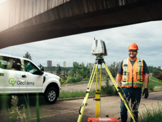
GeoVerra Geomatics Recruitment Campaign October 2021
GeoVerra is in acceleration mode and we want you to join the team. Are you ready to lace up? Edmonton, AB (October 12, 2021) With just over a year since the company launched and 26 […]