Education & Careers
BCIT Geomatics Program | Position Yourself for the Future
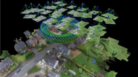
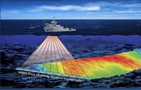
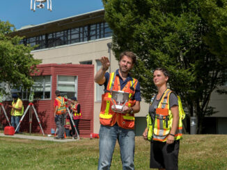
Program Overview BCIT Geomatics Program offers a 2 year Geomatics Engineering Technology Diploma which at the completion, students can either go out and work in industry or continue on for another 2 years and get […]