Project Anywhere – Cesium collaboration with Unreal Engine, Microsoft and NVIDIA
Cesium started off in 2011, with a team of developers at an aerospace software company to create an application to visualize objects tracked in space. Fast forward to 2020, and Cesium has been named Geospatial Startup of the Year by Geospatial World Media.
Project Anywhere
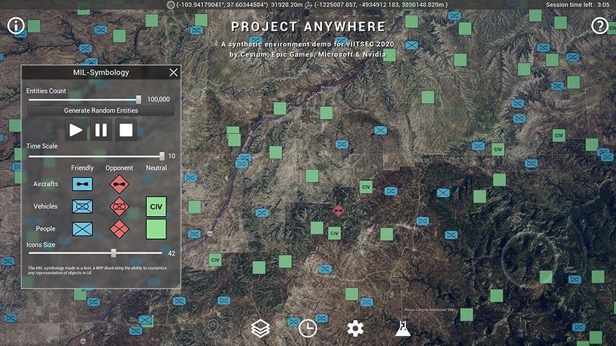
In this article we discuss about Cesium’s latest collaboration with Epic Games, Microsoft, and NVIDIA to demonstrate the future of modelling, simulation, and training. “Project Anywhere,” available as a demo in Epic’s virtual booth at vIITSEC in the first week of December, offered the first glimpse of Cesium’s high-fidelity, full-scale WGS84 globe being streamed into Unreal Engine as 3D Tiles.
The combination of Unreal Engine’s stunning visual quality with Cesium’s ability to stream real-world data captured by satellites and drones will drive new innovations in MS&T and beyond.”
Patrick Cozzi – CEO
What is expected out of this collaboration?

This collaboration provides the toolchain to utilize real-world 3D location data in synthetic environments. Cesium is already committed to DOD-wide efforts to replicate the operational environment such as Army One World Terrain. Enabling game engines to stream geo-specific 3D data as 3D Tiles is yet another key step in reaching never-before-seen levels of accuracy, interactivity, and visual quality for simulations and training.
“Project Anywhere” takes you anywhere in the world on a high-resolution virtual globe. The demo combines Cesium’s geospatial technology, global 3D terrain, and data streaming as 3D Tiles to Unreal Engine. Running on Microsoft Azure with NVIDIA GPUs, it brings the digital twin of the real world to the web. Check out this video to see how game engines (for the first time) would have the ability to zoom in and out from the globe.
What Lies Ahead?
In the example below, it shows how you could explore the high resolution photogrammetry of Melbourne, fly to your city to find global high-res terrain and 3D building data, or track flights as they take off and land at an airport near you.

In addition to game development, Epic and Cesium are seeing the potential for applications in BIM, autonomous driving, AR/VR apps, and content creation. Sounds Exciting, Doesn’t it ?
For more information , please check out Cesium’s website. [Source : Cesium]


