International Geospatial Briefing May 9th: 1. Canopy mapping helps council; 2. Capella Space funding will enhance AI-enhanced geospatial data; 3. Space Force has insatiable demand for geospatial intelligence; 4. A sharper look at the world’s rivers and catchments; 5. Developing a Virtual Laser Scanner for Training and Research; 6. NASA Develops Lidar Backpack Technology
- Canopy mapping helps council
- Capella Space funding will enhance AI-enhanced geospatial data
- Space Force has insatiable demand for geospatial intelligence
- A sharper look at the world’s rivers and catchments
- Developing a Virtual Laser Scanner for Training and Research
- NASA Develops Lidar Backpack Technology
Canopy mapping app helps SA council see wood for the trees
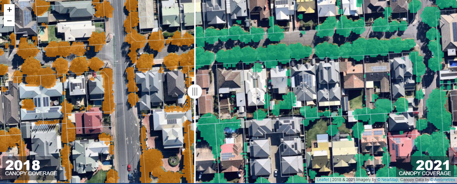
The City of Unley (Located in Southern Australia) has partnered with Forestree, a tech start-up, to create an app that will allow users to track tree canopy changes over time. The app, “MyCanopy” will allow users to query a specific address or search from a map to see how tree canopies have changed over the years. This app will also allow City Council to make better informed on how their decisions will have an impact on the canopies. Check out the app here.
Full Article Here
Capella Space’s $97M Funding Will Expand AI-Enabled Geospatial Data Offerings
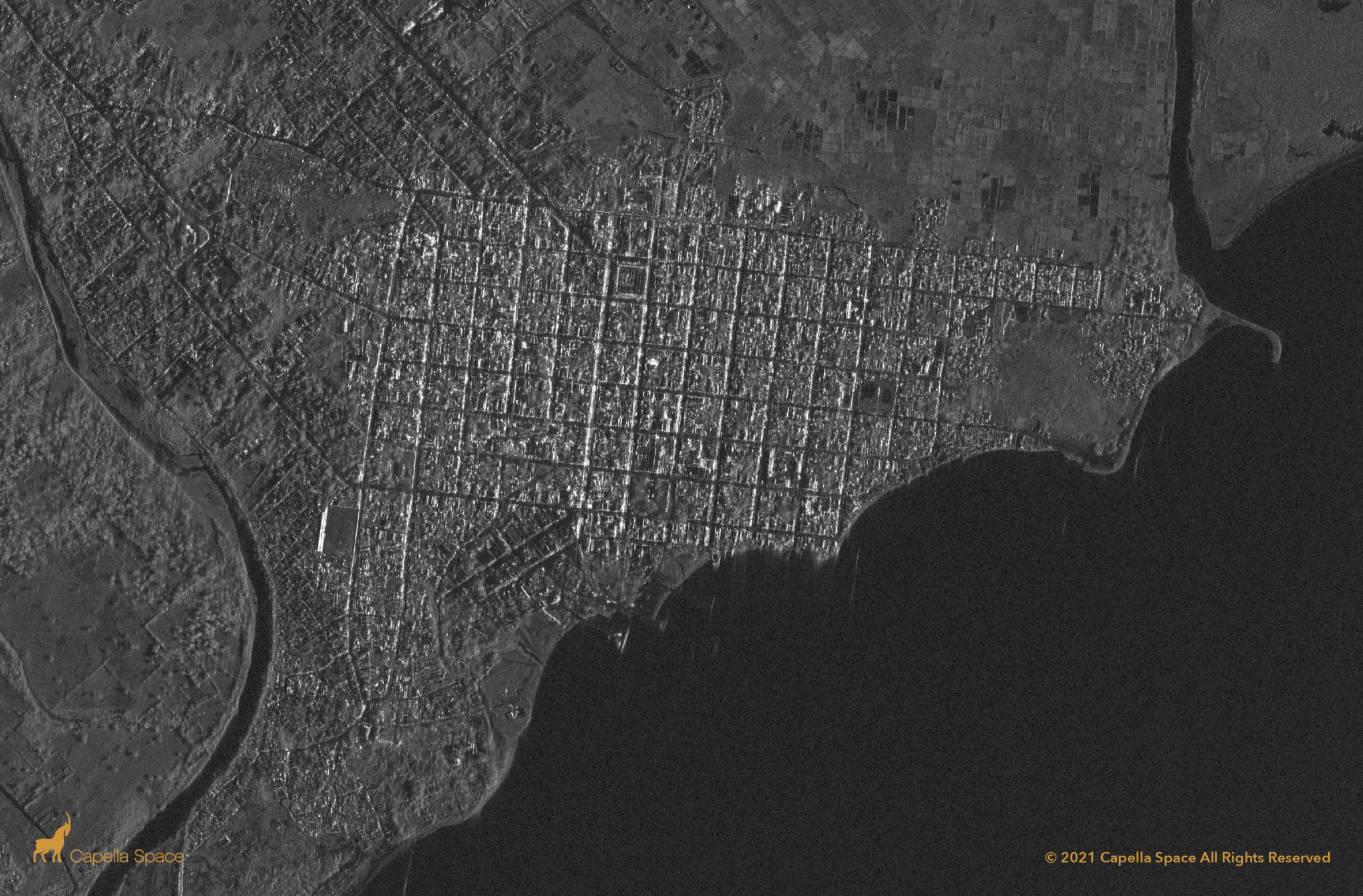
Capella Space has recently secured $97 million dollars in funding to further support its mission of providing high-quality satellite imagery and analysis to clients 24-7. Capella Space currently has 7 Synthetic Aperture Radar (SAR) satellites in deployment with more scheduled to be launched in 2022 and 2023. This new round of funding will allow Capella Space to advance/support their AI technology (such as vessel detection, change detection, and global change monitoring) as well as fund new satellites and sensors.
Full Article Here
Space Force has insatiable demand for geospatial intelligence

Lt. Gen. B. Chance Saltzman, U.S. Space Force deputy chief of space operations, recently spoke at the 2022 GEOINT Symposium and stated the U.S. space force plans to request funding for space-based intelligence, surveillance, and reconnaissance in the 2024 budget. This represents a shift as for the past decades geospatial data was gathered from space, and this aims to track objects and activity in space. Recent actions by Russia (antisatellite test) and China (hypersonic glide vehicle) have illustrated a need for such technology.
image source: https://spacenews.com/space-force-has-insatiable-demand-for-geospatial-intelligence/
Full Article Here
A Sharper Look at the World’s Rivers and Catchments
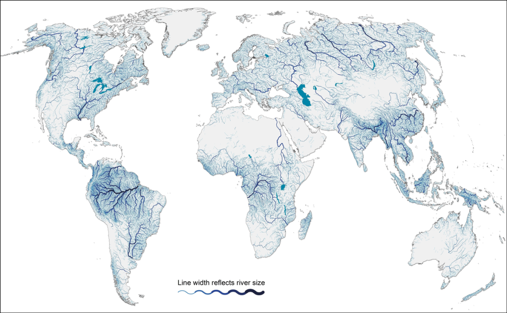
Mapping of watersheds (rivers, streams, lakes, etc.) is an integral part of water sustainability, HydroSHEDS version 1 database was designed with this purpose in mind. HydroSHED version 1 is derived from NASA’s Shuttle Radar Topography DEM, which offers 90 metres (or 3 arc second) pixel resolution. Recently, HydroSHEDS version 2 (or HydroSHEDS-X) is in development and will offer substantial improvements to version 1 while also keeping the same design and characteristics. HydroSHEDS version 2 will be derived from TanDEM-X DEM, which has a resolution of 12 metres, global coverage and compatibility with version 1.
Full Article Here
Developing a Virtual Laser Scanner for Training and Research
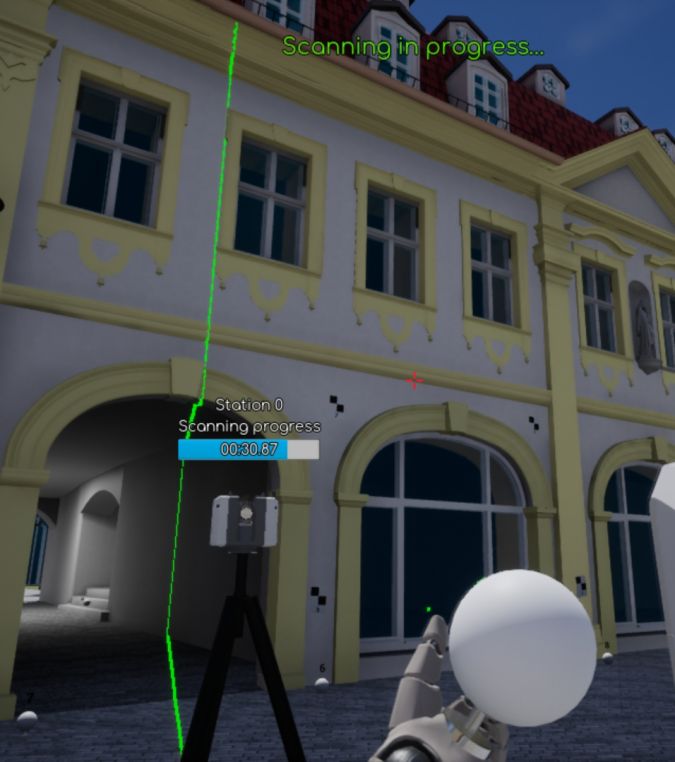
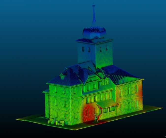
Recently a group of university professors from two German and one Ukrainian universities, with German Academic Exchange Service (DAAD) funding, have developed a virtual laser scanning simulator. This software, VRscan3D, was developed in order to provide a way for users who may not have access (universities for example) to laser scanning technologies as a means to experience it. This simulator allows users to set up targets, select scanner type, move the scanner, and much more. Further, the data collected in this virtual reality can be exported to typical laser scanning formats and processed in any point cloud software.
Full Article Here
NASA Develops Lidar Backpack Technology for Moon Explorers
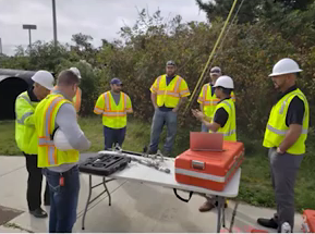
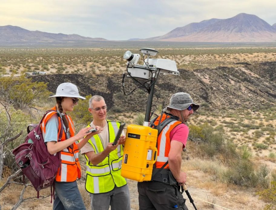
NASA researchers have developed a mobile Lidar scanner, Kinematic Navigation and Cartography Knapsack (KNaCK), with the intention of using it to map the South Pole of the Moon. The KNaCK unit is designed to be a backpack worn by astronauts and will provide real-time maps of the terrain without the use of GNSS. Test conducted at Kilbourne Hole, New Mexico in April 2022 has provided validation on the equipment capabilities. Researchers are now attempting to compact the design in order to make it smaller and lighter (currently weighs 40 pounds and is quite bulky).
Full Article Here


