Canadian Geospatial Digest March 6th, 2023
-
Introducing BC’s Big Tree Project Map
-
GeoTech Training by GoGeomatics
-
Value of Geospatial Data for Government
-
Whale Safety and ship traffic management
-
Geoscience BC refines model of Kootenay Lake geothermal project
-
Canada’s Sapphire Satellite 10-year anniversary
-
Government of Canada creating 10 new marine conservation areas
Introducing BC’s Big Tree Project Map
Big Tree community in BC has combined a few Big Tree registries to form the Big Tree Project Map. Using the base layer of the BC Forest Map, this is hosted by the University of British Columbia and aims to show where logging is happening or about to happen, showcase locations of protected areas and identify the location of old growth forests. Read More.
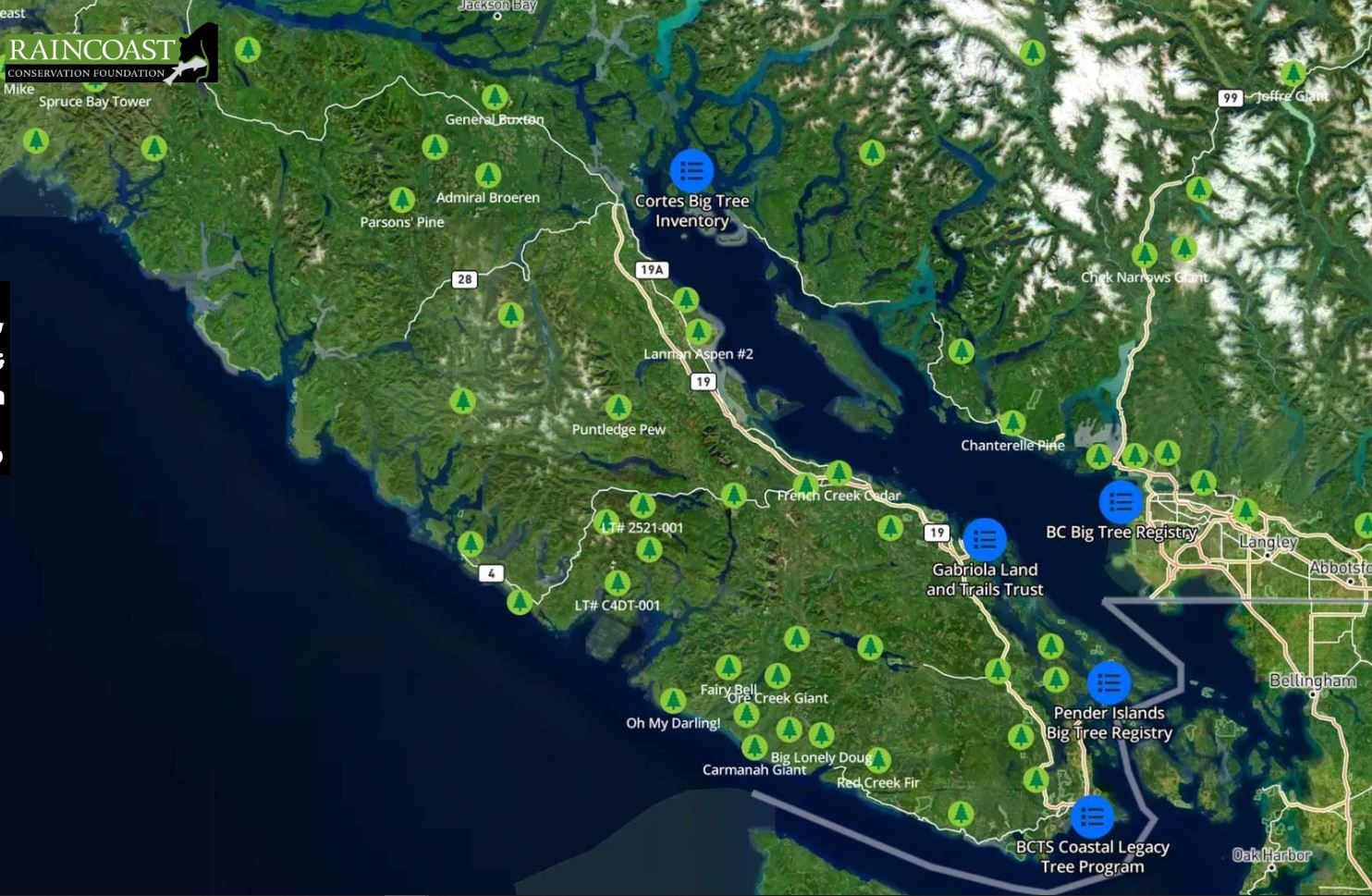
Big Tree Map Source: Raincoast Conservation
GeoTech Training by GoGeomatics
Interested in learning more about various aspects of GIS? Look no further than GoGeomatics newly launched GeoTech training website. Students and organizations are welcomed to sign up. In addition, if you are an expert in you field and want to teach a course, feel free to connect with GoGeomatics. Check out GeoTech Training.

Value of Geospatial Data for Government
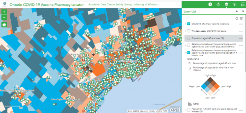
With 90% of the world’s data created in the last 2 years, the need to visualize the ‘where’ is important to decision makers. Read more on how spatial data affects decision making , what it means to Canadians and how ESRI is meeting this need.
Whale Safety and Ship Traffic Management
As the Arctic opens up to more shipping due to an increase in trade, incidents where shipping has collided with local Marine life has increased. Resultantly, the Wildlife Conservation Society of Canada (WCS) has complied maps of shipping traffic and bowhead whale activity with the intention to mitigate such accidents. Read More.
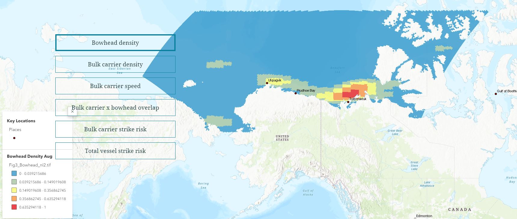
Whale and Shipping Traffic Management Map Source: Canadian Geographic
Geoscience BC refines model of Kootenay Lake geothermal project
After analyzing geological, geochemical and geospatial data collected in the area in the summer of 2022, Geoscience BC has identified the best area for development of the Kootenay Lake geothermal project. Read More.
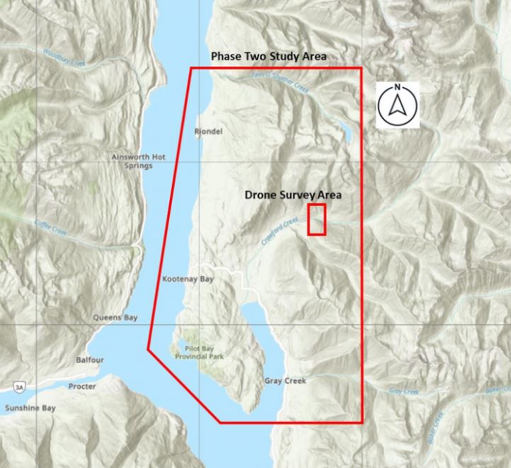
Kootenay Lake Geothermal Project area Source: Think Geoenergy
Canada’s Sapphire Satellite 10-year anniversary
What started as a 5-year mission to track man-made objects orbiting earth through a variety of sensors, is still going strong after 10 years. Sapphire’s sensors have not degraded and continues to provide value to the Space Surveillance Network which is run by the United States Space Command. Read More.
Government of Canada creating 10 new marine conservation areas
Parks Canada is working on creating 10 new National Marine Conservation Areas (NMCA). Some of the new sites include the Magdalen Islands, Southern Strait of Georgia, the Central Coast of BC, Northern Coast of Labrador and along James and Hudson Bays. Read more about the new policy.
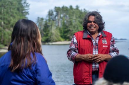
NMCA help conserve and support Indigenous leadership and heritage. Source: Parks Canada


