Newsmakers & Press Releases
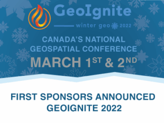
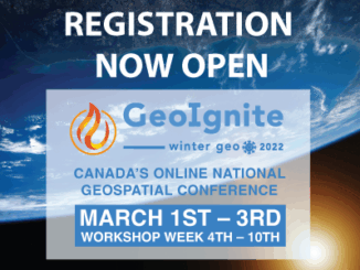
Register Now For GeoIgnite 2022 Winter Geo
GoGeomatics is proud to present GeoIgnite, Canada’s largest geospatial conference. This year, Winter Geo 2022 is being held March 1st-3rd, and once again it is completely virtual. The event has been expanded due to popular […]