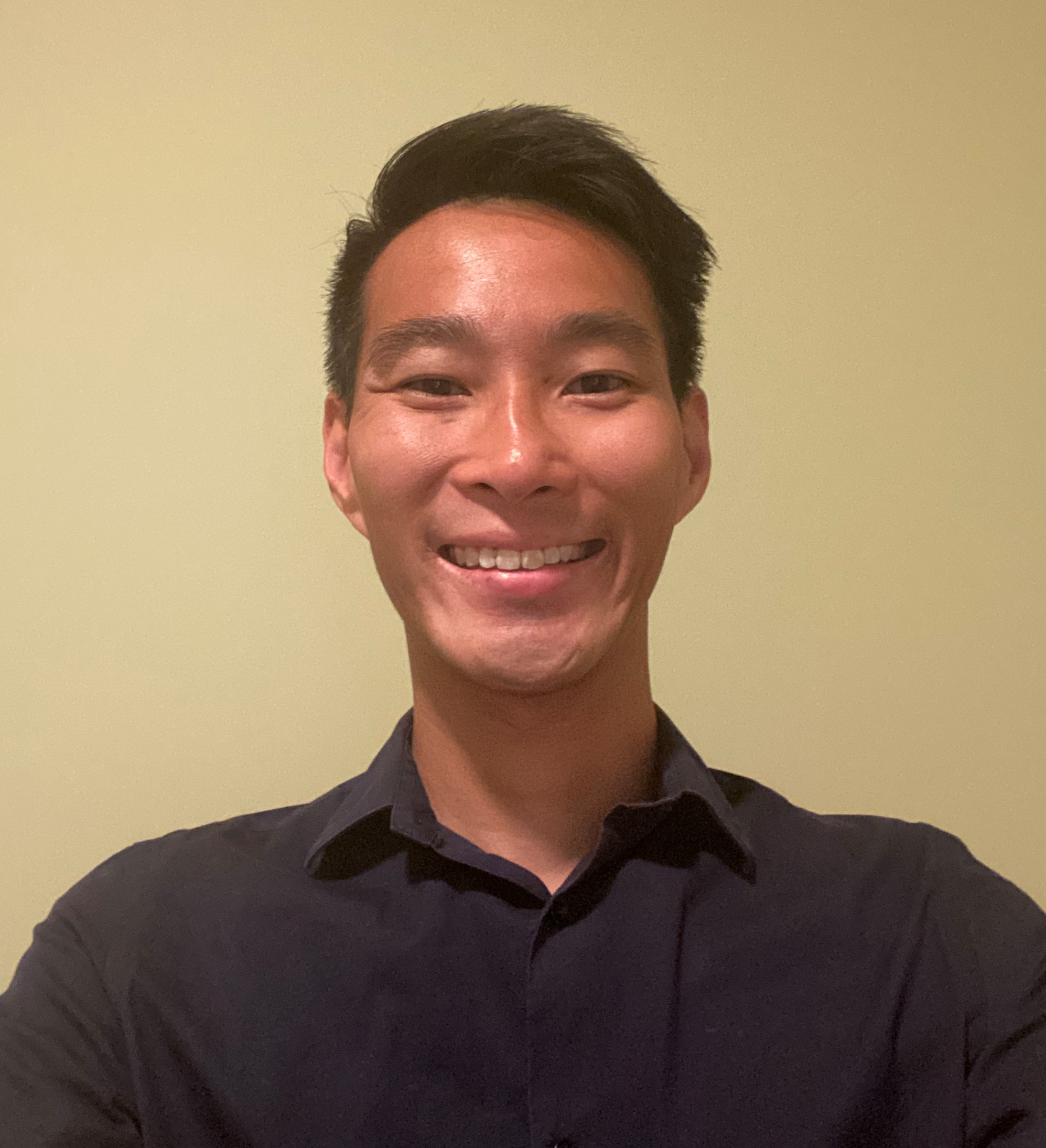
Supporting International Women’s day, I spoke with Becky Morton who is the President and CEO of GeoWing Mapping, Inc. as well as a former ASPRS President.
Tell us about your geospatial career.
I began my geospatial career as a computer programmer hired to manipulate photogrammetric data at a survey/mapping firm. Over the years I have held numerous technical and managerial positions in the geospatial field including serving as a Senior Program Director and Director of Marketing and Business Development for leading USA surveying and mapping firms. I specialize in LiDAR mapping design and the utilization of geospatial data for engineering applications.
The American Society for Photogrammetry and Remote Sensing (ASPRS) has been an important component of my geospatial career providing my certifications in Photogrammetry and Mapping Scientist. I have served as President of ASPRS in 2017-18 and currently serve on the ASPRS Foundation Board of Trustees.
Tell us about GeoWing Mapping.
GeoWing Mapping, Inc. (GeoWing) is a California-based geomatics company that provides high-end mapping and GIS solutions. GeoWing provides unmanned (UAS) and manned aerial acquisition, ground survey, map production, and GIS data production to support engineering and environmental applications. The principals of GeoWing include a California Professional Engineer, Certified Photogrammetrists, Certified Mapping Scientist, California Professional Land Surveyor, GIS Analysts and FAA-certified UAS pilots.
Over the last eight years, GeoWing has successfully managed projects for hundreds of clients in transportation, parks and recreation, municipalities, utilities, civil engineering, environmental management, education, and land surveying.
What led you to start GeoWing Mapping?
Becky Morton and her partners, Alan Mikuni, and Jeff Miller founded GeoWing in January 2015 to fulfill a passion to utilize new smaller camera systems carried on unmanned aircraft and new processing techniques to address high-accuracy, high-resolution engineering mapping applications. Today, the company utilizes both large and small format mapping systems on either manned or unmanned platforms, still focused on delivering high accuracy, high-resolution mapping solutions.
What are GeoWing’s focus and strengths?
GeoWing is a small company of seven employees. Our main strength is derived from the close-knit teamwork of our people and the unique skills that each person brings to the team. We have mastered the techniques to acquire, create and deliver digital terrain models and topographic mapping for detailed engineering applications that comply with the industry’s Positional Accuracy Standards for Digital Geospatial Data.
On occasion we have the pleasure of tackling projects that include 3D models, multi-spectral imagery, thermal, and lidar classification mapping. Our drone flights have traversed steep Sierra terrain, marsh lands, and dam faces. We have accomplished numerous lidar missions with manned flight and now are offering UAS lidar data acquisition and processing.
Has being a woman impacted you being a leader and entrepreneur in the geospatial industry?
I believe being a woman was an asset for me in the geospatial industry. For one thing, I stood out from the crowd simply because there were fewer women in the “room where it happens”. I was also well-served by the characteristic of listening carefully and trying to understand a client’s needs when designing mapping approaches for geospatial contracts. This is not to say that the trait of being a good listener is unique to women, however I do believe it was a trait that brought me much of my success.
Through the length of your career has there been more women joining the industry?
The participation of women in the survey and mapping industry has grown significantly during the span of my career. I remember in my early career going to survey conferences of over a hundred people with just a handful of women in the audience. Now women make up a significant percentage of the attendance and further, they are on the stage presenting and they are running the companies – what a fantastic difference!
What can be done to increase representation?
I believe representation of woman and diversity of ethnicities in our field can be increased through mentoring and corporate sponsorship. Company management can play a large role in encouraging diversity in the industry by training, mentorship, and promotion of employees. So often a young person just needs encouragement, some financial support and a hand-up in order to believe in themselves and take the extra steps to promote self-development, learning and leadership. Encouraging young people to join professional organization is also a valuable tool to increase diversity in the industry, professional organizations offer a safe environment for people to learn teamwork, public speaking, and leadership.
What advice do you have for women looking to make a career in the geospatial industry?
I advise women and young people in general to never stop learning and taking measured risks. In the geospatial industry there are so many avenues for learning about new technologies and I encourage women to constantly pay attention to new developments and to discover how it fits with their career. Taking advantage of local geospatial groups for meetups, development of joint professional papers, and networking is ideal for women to further their professional development and to gather the friends in the industry that will give them strength and support.


Be the first to comment