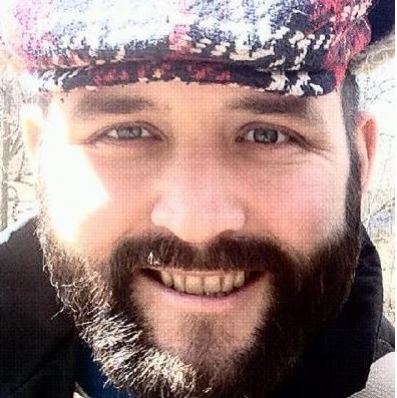
I work for Sight Surveillance. My day begins bright and early in the morning. After a hearty meal, I set out for a daily safety meeting. Each person in the room has a very different day ahead of them. Some prepare ice roads by spraying water on the ground. Some cut down trees or bush in mulcher vehicles or by hand. Most people are here for one task. My job is much different.
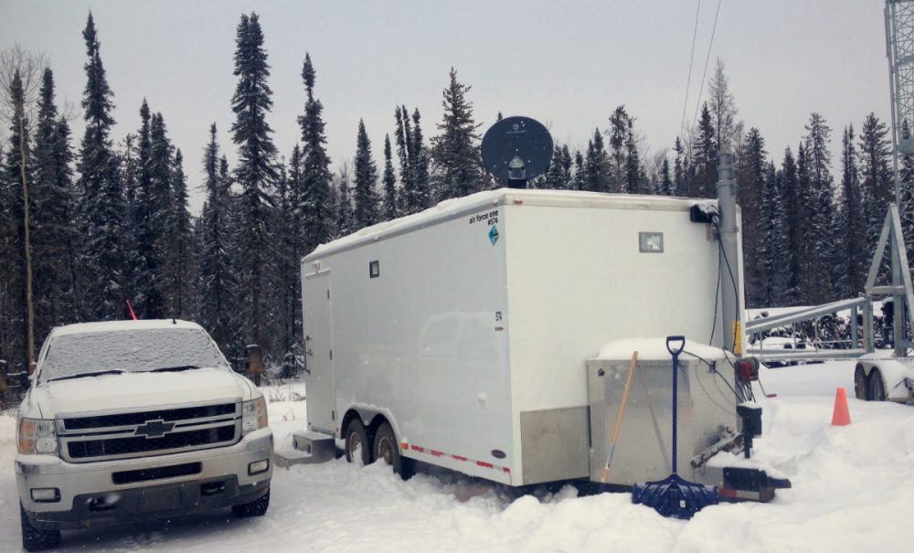
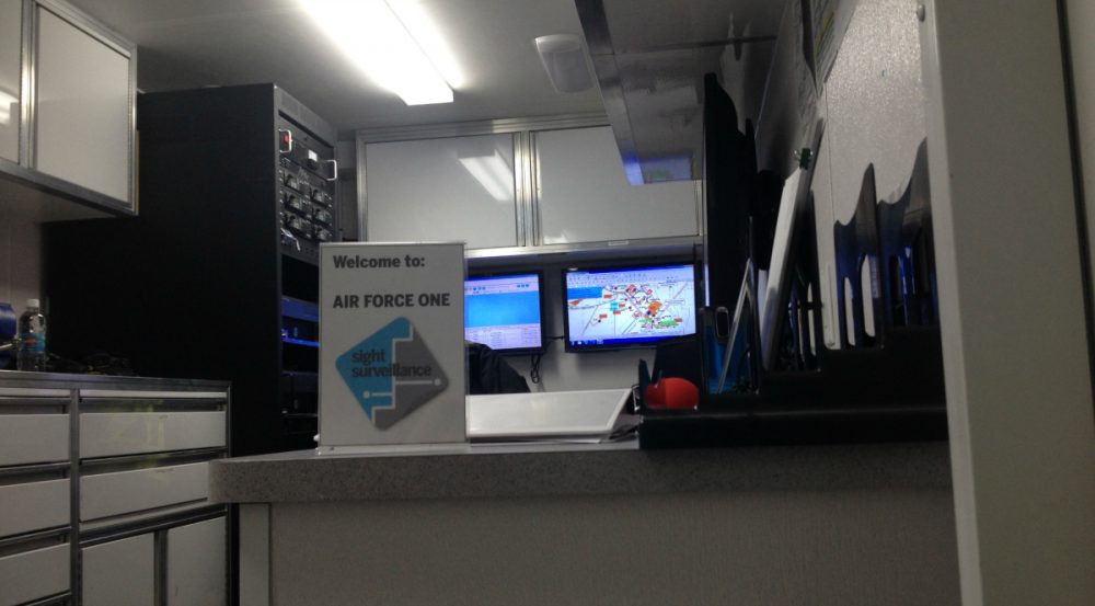
Sight Surveillance combines real-time tracking, radio distribution, and map-making capabilities for companies that work well outside city limits. Our clients include seismic surveys, winter drilling programs, and even forest fire response. Sight Surveillance places all this capability into a self-contained command center trailer with radio equipment, tracking systems, and a cartography suite complete with a powerful computer and a 36” plotter.
 Neither snow nor rain nor really cold Alberta winters can stop our Command Centres
My job title is “Field Controller.” Throughout my day, I control all the location information that takes place in every job site. This starts at the source of the location information: The radios. Moving up, I control the tracking software and visualization that helps field managers take command of their employees. Finally, I produce two types of maps: Ones that assist employees in navigating the job sites, and others that explain to managers and supervisors all daily progress for their project.
Besides cartography, there is one other part of this job that is rewarding: Troubleshooting. The nature of field work in cold conditions means that something, somewhere is going to break down and need fixing. We have to be able to troubleshoot and fix problems as quickly as possible to cut down the effect on field operations. Sometimes radios can stop operating. When this happens, it’s up to me to notice the breakdown first, and fix it. Sometimes it’s a quick fix, and sometimes parts of the radio need replacement or repair. The command center has a decent workshop space, which helps me keep all equipment well-maintained so that I’m ready for the next equipment failure when it comes.
By the end of the day, there is a lot of opportunity to brush up on cartography and representation techniques using some of the best tools of the trade without the confinement of templates. The changing requirements from clients allow me to find new ways to represent fluid information through abstract representation. Initiative is always welcome in this company. We’re encouraged to hone our skills, and to use our knowledge any time we believe it can be useful.
Want to know more about Sight Surveillance? Read the article – “Company Spotlight: Sight Surveillance Provides Mobile Command Centres Using Geomatics”


Be the first to comment