Apple Maps is Coming to Your City this Summer, Satellites show World’s Largest Beaver Dam, Who lives in Canada’s Hottest Urban Centres, Western University Investigates Storm
Apple Maps is Driving, and Walking, Through Canadian Cities this Summer
Apple Maps is walking and driving through major Canadian cities this summer, starting August 8.
This event will enable Apple to collect updated data for its maps. Metro cities like Toronto, Montreal, Vancouver, Calgary, Edmonton, and Ottawa are among those on the list.
Vehicles and backpacks with specialized equipment will be used to build accurate digital maps of Canada. These unique backpacks are used when driving isn’t a viable option. Other equipment used to gather data includes IPads and Iphones among other similar devices.

Apple Maps wants to make sure it provides its user base with correct information, but also wants to ensure people the company knows privacy is important and is a priority.
The “Look Around” feature was introduced in 2020 in a limited fashion, but is now available all over. It is similar to “Street View” with Google.
Faces and license plates are censored in “Look Around” images, and there is an email for the public to contact Apple if they wish to have their home censored as well.
Alberta Hosts World’s Largest Beaver Dam
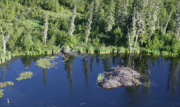
Located in Wood Buffalo National Park, Alberta, the world’s largest beaver dam is so big, it can be seen by satellites.
The dam was discovered in 2009, while scientists were using satellites to check on landscape changes from melting permafrost. The scientists informed Parks Canada, who sent a helicopter to take a look at the wonder.

How large is the dam? It holds 70,000 cubic metres of water (1600 hockey rinks), and is 800 metres long. The front alone is 775 metres (7 football fields). The perimeter is about 2000 metres, and its surface is 70,000 square metres.
The dam, although famous, is not easy to visit. It is in a remote and difficult to reach location.
https://www.narcity.com/edmonton/worlds-largest-beaver-dam-alberta-you-can-see-it-from-satellites
Who Lives in Canada’s Hottest Urban Areas?
Who Lives in Canada’s “Heat Islands?”
A data analysis from CBC News has revealed those with low income, as well as immigrants, are the ones who tend to live in the country’s hottest urban settings. These areas are known as “heat islands.”
CBC News collected data from satellite imagery to identify locations with the hottest land surface temperatures. They also found that land surface temperatures and air temperatures are related.

What causes these “heat islands?” Variables include street configuration, amount of vegetation, proximity to a body of water, and building materials. Streets filled with concrete buildings, parking lots, and lack vegetation are noticeably hotter than those streets with mature trees that create a shady canopy.
Global warming is creating an increasing health issue because it escalates the impact of heat waves in Canada (and around the world).
Western University’s “Northern Tornadoes Project” Investigates Sunday’s Storm
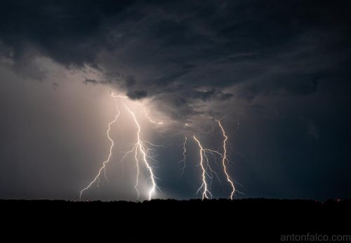
The “Northern Tornadoes Project” of Western University, had the chance to investigate a recent devastating tornado in Ontario.
Last Sunday, an area north of Belleville and east of Peterborough experienced a tornado that caused incredible damage. The areas of Havelock, Marmora, Madoc, and Tweed, all had extensive damage to homes, trees, and other buildings. 
The results of the investigation were released. The storm was a multi-vortex supercell tornado, assessed at EF2. It had a debris signature from 8:11 pm to 8:59 pm. The tornado has a length of 55.8 km and a width of 1420 metres. It had a wind speed of 190 km/h.


Be the first to comment