
This summer, Carleton University’s Faculty of Arts and Social Sciences and the Department of Geography and Environmental Studies has an exciting opportunity for anyone interested in learning more about Google Earth Engine and SAR Remote Sensing. They will offer two non-credit courses that will run for 5 consecutive weekdays through Zoom. Upon completion, students will receive a certificate signed by the Dean of the Faculty of Arts and Social Sciences.
Course Details:
- Courses run for 5 consecutive weekdays
- Cost: $350 (+ 13% HST) per course
- Enrollment is limited
- Online format using Zoom (recordings of the lectures will be made available to participants)

Google Earth Engine for Remote Sensing
July 5 – 9, 2021
Lectures Monday-Friday: 10:00 a.m. – 12:00 p.m. EST
Lunch + independent work on materials: 12:00 p.m. – 2:00 p.m. EST
Office hours and technical help: Daily from 2:00 p.m. – 4:00 p.m. EST (optional/as needed)
Course Description:
Google Earth Engine (GEE) is a free, cloud-based application that enables time series and big data analysis of remotely sensed imagery without specialized software or the requirement to download, store and process data locally. GEE enables programmatic access to the MODIS, Landsat 4,5,7 and 8 and Sentinel-1, 2, 3 and 5 archives, with continual updates, as well as many other imagery and ancillary datasets (e.g. land-use data, climate and soil data, etc.).
Tools and functions are continually being added to GEE and continually expanding what is possible with this tool. This course will introduce basic concepts and applications of large area and time-series remote sensing using GEE, including an introduction to Google Earth Engine data selection (i.e. filtering) and fundamental cloud processing techniques, as well as downloading. Hands-on exercises using multi-spectral imagery, SAR imagery, DEM and other datasets in the Python API will be accompanied by practical demonstrations and lectures on both technical and theoretical aspects.
Demonstration (including scripts) will aim at giving students the tools and knowledge to develop their own workflows through Python scripts in the Google CoLab environment. Applications demonstrated will include the creation of mosaics and composites, landcover mapping, timelapse creation, extraction of time series data, change detection and others of interest to the participants.
Participants should have basic knowledge of remote sensing including understanding of general applications of remote sensing, how remote sensing datasets are acquired and processed, and be interested to learn some GEE coding skills in python through the Google CoLab environment. While no previous coding skills are required, knowledge of scripting in other languages would be helpful (e.g. R, python etc).
Computing Requirements: You will need access to the internet and the ability to use the Zoom platform.
Synthetic Aperture Radar Remote Sensing
August 9-13, 2021
Lectures and Labs Monday – Friday: 9:00 a.m. – 4:30 p.m. EST
Lunch + Independent work on materials: 11:30 a.m. – 1 p.m. EST
Course Description
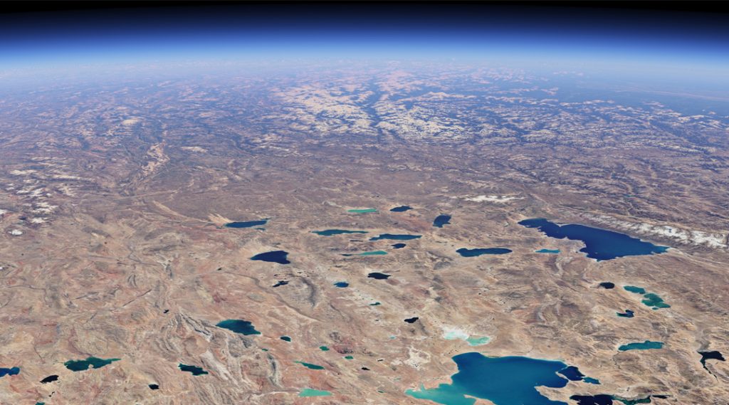
Synthetic Aperture Radar (SAR) Earth observations (EO) have experienced a “Golden Age” over the last ten years with the launch of satellites such as Sentinel-1, RADARSAT Constellation Mission, Cosmo SkyMED, ALOS-2 PalSAR2, SAOCOM, Capella, ICEYE, as examples. These systems, when considered together, offer frequent re-looks at the Earth with advanced imaging capabilities. Despite these capabilities, more open data policies and increasing access to analysis-ready data (e.g., via Earth Engine), barriers still exist to users because of the perceived complexity of SAR, and a lack of training material presented from an applications perspective.
Within this context, we present a SAR course aimed at Geographers and application specialists, with a focus on translating the engineering and physics of SAR into the applications domain.
This course will introduce basic concepts of SAR, provide a review of matrix Algebra for non-math specialists and cover the concepts of SAR Polarimetry. The course will explain how both target and SAR system characteristics impact SAR responses. Hands-on exercises will show how & where to access SAR imagery and how to use the European Space Agency’s open source SAR processing software, SNAP 8.0, including SAR pre-processing, SAR polarimetric processing.
Additionally, a clear and concise explanation and demonstration on Random Forest classification methodology using open source scripts will be given. International guest lecturers will provide real-world (and other world) application examples including Hazard & Oil Spill Mapping; SAR for Agriculture Applications; Water & Wetland Applications; Other Planetary Applications, Use of SAR in the Armed Forces, & using Google Earth Engine + for SAR imagery processing and analysis.
This course will be led by two co-leads of the @SistersofSAR initiative which aims to share the exceptional advancements in SAR research and engineering around the world while showcasing amazing #WomeninSAR. This course will be presented entirely by women SAR scientists from around the globe! All persons are welcome to attend and learn.
Participants should have basic knowledge of remote sensing including an understanding of general applications of remote sensing, how remote sensing datasets are acquired and processed and be interested to learn about SAR.
Computing Requirements: You will need access to the internet and the ability to use the Zoom online platform. To run and participate in the Labs you will need to download and install European Space Agency’s (ESA) SNAP 8.0 as well as the latest version of R.
For more information about course guidelines and to visit the website click here.
Be the first to comment