
Damage to underground infrastructure during construction costs the Canadian economy about $3 billion in direct and indirect costs every year. It is among the biggest causes of delays and budget overruns on public construction projects. It also is responsible for injuries and even fatalities among workers and the public. The Canada Underground Infrastructure Register (CUIR) initiative is intended to elevate awareness of the challenge of underground infrastructure damage in Canada and to improve current damage prevention processes.
To put this in context sharing maps of underground infrastructure is not new to Canada. For example, the City of Calgary’s Joint Utility Mapping Project (JUMP) system, the ICI Society in British Columbia, the City of Toronto’s Digital Map Owners Group (DMOG) and others have been sharing underground utility information for years.
Now is an especially opportune time to address developing a national underground registry. The North American one call damage prevention systems have reached an inflection point. For more than half a decade, the rate of damage to underground infrastructure in North America has remained stagnant or slowly increased. A centralized national map of underground infrastructure accessible all construction stakeholders has been identified as a way forward providing systemic benefits with a large ROI for the construction industry. Secondly, recent developments is several jurisdictions are showing that the barriers that have inhibited the development of a national registry in the past are surmountable. Thirdly, new innovative technical developments are making it to possible to detect, capture and share underground information more efficiently and accurately than ever before.
Damage to underground infrastructure during construction costs the Canadian economy about $3 billion in direct and indirect costs every year.
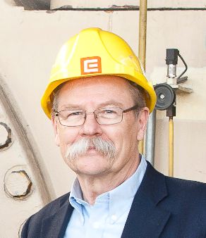
Geoff Zeiss
The challenge of reducing underground infrastructure damage is not primarily a technical problem, but an organizational one requiring a centralized, trusted organization capable of providing governance for a national register comprised of underground infrastructure location data from a variety of data sources and shared among all construction stakeholders. To be effective whichever organizational structure is chosen, the chief requirement is that it be capable of achieving a 100% participation rate. In addition open and transparent governance is essential. Organizations such as utilities and telecoms who contribute and share their data need to feel comfortable that the register provides a secure environment with data protection and a legal framework with agreed rules for how data is to be shared. This is particularly critical for the highly competitive telecom sector. An appropriate funding model is required that reflects the importance of the register as an essential public service, contributing billions of dollars to the national economy, improving the productivity of the construction industry and providing important benefits to Canadian society as a whole. The funding model must provide the basis for a dynamic organization, not only able to support operations but also to provide for innovation.
Existing underground utility data is frequently inaccurate, out of data, or simply missing (especially for abandoned or infrastructure with no known owner). To achieve its goal to be a source of reliable data a national register must provide mechanisms for continuous data quality improvement. Currently measures being taken by jurisditions to address data quality are mandating the submission of survey-grade as-builts for newly-installed network facilities and requiring SUE surveys during planning and early design for public civil engineering projects.
However, a source of data that has potentially greater implications for improving the overall quality of underground location data is routine locate operations, for example, locators responding to one call request. This data is rarely recorded and shared. To capture this data efficiently locators will require familiarity with new and innovative technologies. New levels of qualifications and certification will to needed to enable locators to participate fully in upgrading the quality of data about existing underground infrastructure.
Recent developments including National Underground Asset Register (NUAR) in the UK and other initiatives have demonstrated and are demonstrating that the barriers to implementing such a register are surmountable and that a centralized national register of underground infrastructure is feasible in Canada. There is growing evidence that a national register would provide important benefits and opportunities to stakeholder groups; contractors, government transportation and infrastructure agencies, network owners, engineering design firms, SUE engineers and surveyors, and locators in addition to contributing billions of dollars to the economy and providing important social benefits to Canadians.
If you would like to get involved in the project, please contact Steve Slusarenko and we will provide materials with more details on our objectives and and how we’re planning to achieve them. Our goal is to enlist all stakeholder groups to help us put this together to everybody’s benefit.
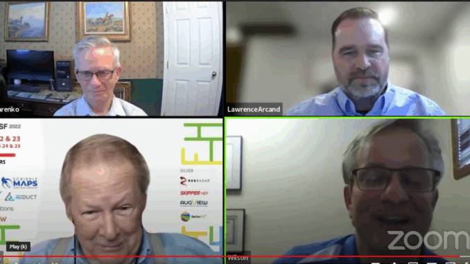
This article is based on the panel discussion on Developing a digital twin for Canada at the Subsurface Utility Mapping Strategy Forum (SUMSF). The Moderator was Steve Slusarenko and the panelists were Lawrence Arcand, president of 4Sight Utility Engineers, vice-chair of the CSA S-250 committee, and chair of the Transportation Association of Canada’s (TAC) Public Utilities Management Subcommittee, Wilson Phillips, representing Professional Surveyors Canada and who has been working on finding a solution for managing underground infrastructure data in Canada for a decade, and Geoff Zeiss, Principal at Between The Poles, who has been following and documenting underground infrastructure data systems worldwide for 25 years.


Be the first to comment