
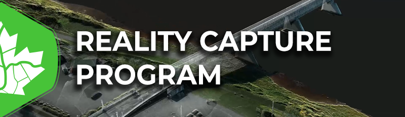
The National GoGeomatics Expo 2024 is happy to present the Reality Capture & Digital Twin presentation track.
We are presenting to you a picture of what’s being done and what’s possible with reality capture technology, an open round-table on the evolution of this technology and the relevance of reality capture in future processes, and then finish with an industry snapshot of a technology that can best be described as a technological chimera approaching a meteoric rise.
![]()
![]()
The Reality Capture track of the National GoGeomatics Expo 2024 starts with a keynote address from Pete Kelsey, a man who’s experiences in realty capture (remote sensing) range from the honorable to the incredible. Mr. Kelsey has spent decades in land survey, remote sensing and has spent 15 years applying his knowledge to documentary film series. His address will touch on reality capture applications, the progress it’s making, and how much farther it might go.
![]()
![]()
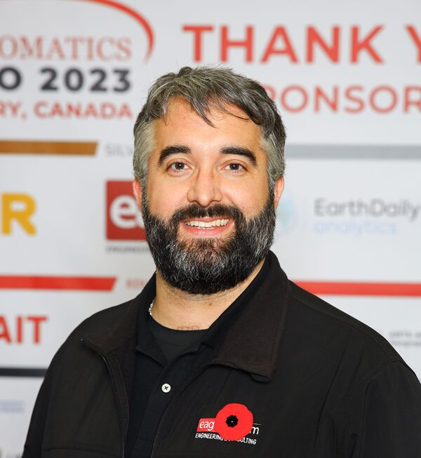
From there, GoGeomatics presents speakers that are making impacts in their industries. Mrs. Karina Delcourt of ETRO Construction takes time to outline for us the definitions and expectations we should have when digital twining is applied to building information. Kelsey Green of Eagle Engineering and Consulting then outlines the value of this emerging technology as it applies to municipal asset assessment and management before Pete Kelsey returns to the stage to present the power of his combined arms approach to the 3D scanning of Alcatraz Island for the US Parks Service.

![]()
![]()
![]()
![]()
On the second day, Mack Kowalski of K&K laser scanning opens the day with a concrete tolerance case study in which they test the validity of LiDAR scanning validation methods against total station standards for the same test site. He’s preceded by Tommy Maddox III of OnSite3D, who presents how his company’s reality capture processes earned either client a 7000% return on investment after they put their faith in OnSite3D.
 These informative and stimulating talks are followed up with an open floor discussion on reality capture systems, services, and their futures with members of the presentation group, plus members of a not-for-profit advocacy and education group called “The Committee” out of the United States. This conversation will reflect on the content presented in the reality capture track and try to bring the future into focus.
Finally, the reality capture and digital twin track closes out with a presentation from the CanSLAM Circuit; a not-for-profit advocacy group whose soul purpose is the collection and dissemination of simultaneous localization and mapping (SLAM) data for complex scene mapping and mapping in GNSS denied areas. In the final presentation of the track, the CanSLAM will present the results of this year’s scan contributors and outline the performance expectations for industry.
The National GoGeomatics Expo 2024 would like to extend it most sincere appreciation to all the individuals and organizations that put forward abstracts and discussion topics for this year’s “Reality Capture Track” at this year’s event. There are incredible people doing incredible works.”


Be the first to comment