
David Lepage, in his blog for Axiom News, expresses concern for “the map is not the territory” in a community economy. One of the cornerstones of rural economic development is asset mapping (see Kretzmann and McKnight). This could take the form of a map of all businesses in a region. A recent example, picked up at a Farmer’s Market in New Glasgow, offers a guide to local food, products, and farm-friendly restaurants. It identifies over fifty locations and products. Earlier in the year, as part of a 48 hour Idea Lab (Refresh Annapolis Valley), I was involved with developing the concept of FarmG8 (farmg8totable.com), designing a mobile app which linked local producers to the consumer marketplace. While the idea made sense, finding software development funding has proven to be a challenge.
These experiences in Nova Scotia provide the context to investigate the status of mobile software development in other countries. Colleagues suggested a number of UK examples, including the Ordnance Survey (ordnancesurvey.co.uk) and the University of Edinburg. At the UK Ordnance Survey, they offer the OS Open Space iOS SDK (Software Development Kit). At the EDINA site, their Field Trip GB provides a mobile app to take high quality base maps into the field and capture spatial data against them.
Similar approaches to geographic data can be found in Australia, and likely many other jurisdictions.
From the vendor perspective, at Esri we have the ‘storymap’. This allows indexing of photographs, text and other digital files to a map base. Likewise, Google offers ‘streetview’ and other examples of geo-referencing.
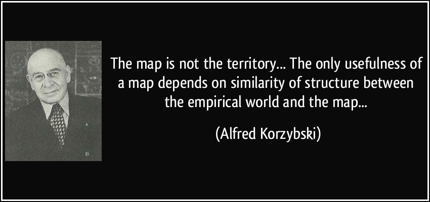
Returning to Korzybski ‘s quotation, “the map is not the territory.” To understand the territory, we must understand the processes and interactions which are taking place within society. To assist economic development, the map is not sufficient. We must develop applications that meet the needs of society. Thus, we should focus on the skills to understand the underlying problem, as well as the technical abilities to develop web and mobile applications that will serve society.
Access to digital maps is a necessary first step. The second step is access to software development kits to develop these applications. The third step is to put the app in the hands of the end user. Finally, there will be a feedback loop where a change in design reflects new needs, new data availability, and new technology. Together, these steps present demands on geography education.
In summary, to paraphrase Korzybski, ‘the map is not the app.’ As a society, we need the capacity to develop more apps. Maps may be a necessary component, or not. Our goal is not to ‘map-ize’ the problem but rather to develop a tool that addresses the problem.
References
Axiom News. axiomnews.com provides a weekly e-newsletter. See David Lepage blog, November 18,2014
EDINA edina.ac.uk Fieldtrip GB: creating a customizable mapping and data capture app for the HEFE community. Paper by Ben Butchart et al. presented at GISRUK 2013.
Kretzmann, JP and JL McKnight. 1993. Building Communities from the Inside Out; a path towards finding and mobilizing a community’s assets.
Korzybski, A. 1931. The expression ‘the map is not the territory’ first appeared in print in a paper given at the AAAS in New Orleans, Louisiana. 1931.
Refresh Annapolis Valley (refreshannapolisvalley.org) is a community of designers and developers working to refresh the creative, technical, and professional culture of New Media in the Annapolis Valley.
UK Ordnance survey. See OS OpenData on the their web site.


Be the first to comment