
GeoIgnite 2026 is more than a conference program. It is a national gathering point for Canada’s geospatial ecosystem.
Taking place May 11 to 13 at the Ottawa Conference and Event Centre, GeoIgnite brings together leaders from government, industry, academia, education, associations, and technology companies to explore the future of Canada’s geospatial capability, digital infrastructure, Earth observation, AI, sovereignty, and resilience.
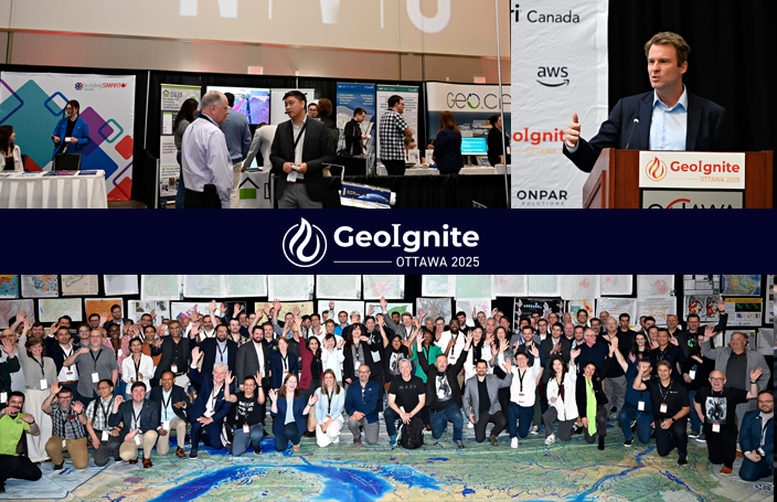
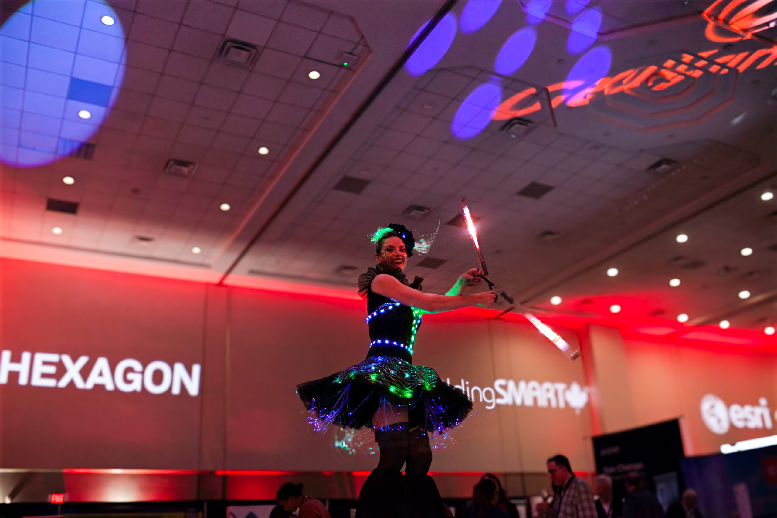
At the centre of the event is the GeoIgnite 2026 Exhibition Hall, operating throughout Tuesday and Wednesday as a hub for networking, technology demonstrations, collaboration, and industry engagement.
This year’s exhibition features organizations working across Earth observation, analytics, GIS, digital twins, BIM, hydrography, surveying, utilities, AI, mapping, infrastructure delivery, environmental intelligence, and geospatial workforce development.
Who You Will Meet in the GeoIgnite Exhibition Hall
The GeoIgnite 2026 exhibition includes companies, government organizations, associations, and technology providers helping shape Canada’s geospatial future.
Participating exhibitors and organizations include:
- ASL Environmental Sciences
- AYE3D
- buildingSMART Canada
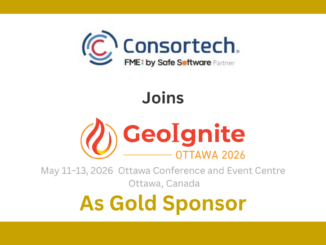
- Consortech & Safe Software (FME)
- Desert Creative Group
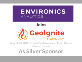
- Environics Analytics
- Esri Canada
- Geo-Plus
- GIS Certification Institute (GISCI)
- International Society for Photogrammetry and Remote Sensing (ISPRS)
- K2 Geospatial
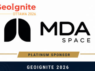
- MDA Space
- Natural Resources Canada
- NV5 Geospatial
- Ontario Association for Geographic and Environmental Education (OAGEE)
- Pacific Geomatics Limited
- Planet
- Spexi
- T2 Utility Engineers
- Twinworks Solutions Inc.
- Vantor
Together, these organizations reflect the breadth of the Canadian geospatial sector, from space and Earth observation to infrastructure, analytics, education, standards, mapping, and applied geospatial technology.
The Canada Maps and Poster Gallery
Alongside the exhibition hall, attendees will be able to explore the Canada Maps and Poster Gallery, one of GeoIgnite’s most unique and visually engaging features.
The gallery showcases cartography, spatial storytelling, research, education, visualization, and map design from across Canada’s geospatial community. It is also a meeting place for students, educators, government professionals, researchers, and industry participants who want to see how maps continue to communicate complex information in powerful ways.
The exhibition area will also feature the giant floor maps, a signature part of the GoGeomatics and GeoIgnite experience.
New Exhibition, Gallery and Networking Passes
New for 2026, GeoIgnite has introduced additional ways for people to participate in the event without requiring a full conference pass.
Attendees can now register for either the GeoIgnite Exhibition, Gallery and Networking Pass – Tuesday or the Exhibition, Gallery and Networking Pass – Wednesday.
GeoIgnite Exhibition, Gallery and Networking Pass – Tuesday
Price: $225 CAD plus booking fee and applicable taxes
This pass provides access on Tuesday to:
- the GeoIgnite exhibition hall
- networking areas
- the Canada Maps and Poster Gallery
- the giant floor maps
- refreshment breaks served in the exhibition hall
- the Tuesday evening exhibitor and networking reception
This pass does not include access to plenary sessions, breakout sessions, or the conference lunch.
Exhibition, Gallery and Networking Pass – Wednesday
Price: $175 CAD plus booking fee and applicable taxes
This pass provides access on Wednesday to:
- the GeoIgnite exhibition hall
- networking areas
- the Canada Maps and Poster Gallery
- the giant floor maps
- refreshment breaks served in the exhibition hall
This pass does not include access to plenary sessions, breakout sessions, the Tuesday evening networking reception, or the conference lunch.
These passes are designed for local professionals, students, public sector staff, industry partners, and members of the broader geospatial community who want to experience GeoIgnite, meet organizations from across Canada’s geospatial ecosystem, and participate in the networking and exhibition environment.
Thank You to the GeoIgnite 2026 Sponsors and Partners
GeoIgnite 2026 is made possible through the support of organizations investing in Canada’s national geospatial leadership conference.
Platinum Sponsor

|
Gold Sponsors
|
|
|
|
Silver Sponsors
|

|

|
Bronze Sponsor
|
|
Supporting Sponsors
|
|

|

|

|
Featured Event Sponsors
|
|
Association, Media and Event Partners
|

|

|
|
|
|

|
|

|

|

|

|
Be the first to comment