
GoGeomatics celebrated GIS Day yesterday at Carleton University in Ottawa, part of the worldwide GIS Day celebrations. We would like to extend a big thank you to the MacOdrum Library‘s Maps, Data and Government Information Centre, as well as the Department of Geography & Environmental Studies for inviting us to participate in their 16th annual event.
We had the chance to meet some passionate geomatics students at our resume clinic, visit our fellow exhibitors’ booths, listen to some engaging speakers, and try out some seriously cool tech. For those of you who weren’t able to stop by our resume clinic, you can register for our upcoming Career Seminar to optimize your geomatics job search. Come to our next Ottawa social to get a coupon code for $10 off your registration!
Take a look at a recap of the day in photos:
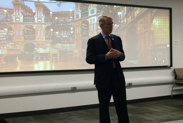
Peter Ricketts, Provost & Vice President (Academic), reflects on how far GIS has come in his kickoff to the event
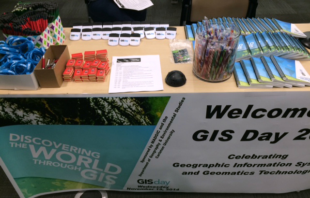
Everyone loves free swag!
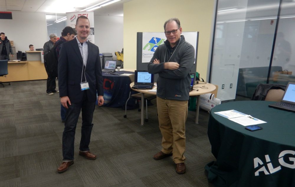
Dan Bert (left), from the Geomatics and Landscape Ecology Research Laboratory at Carleton, pictured with Mike Ballard, GIS Instructor at Algonquin College
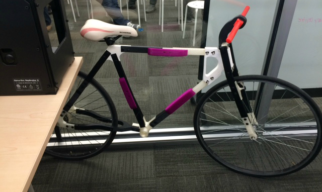
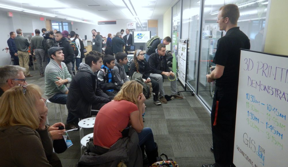 3D printing demonstrations took place throughout the day
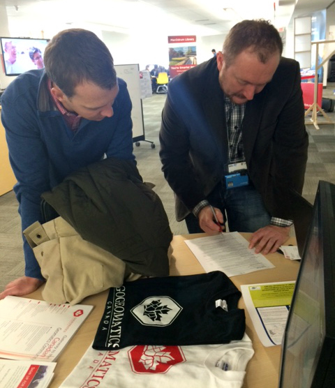 Going over a GIS student’s resume at the GoGeomatics booth
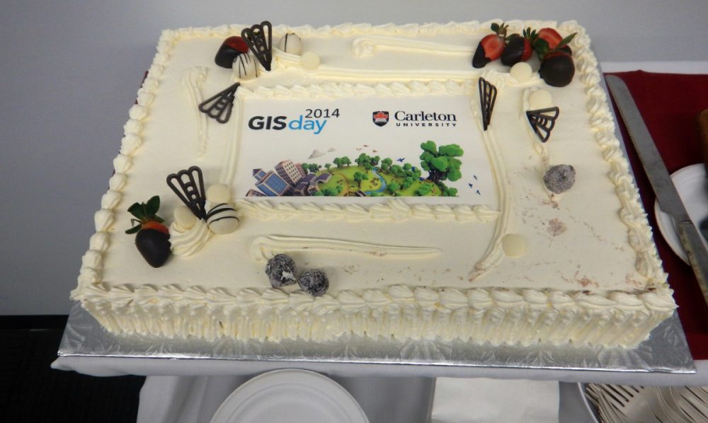
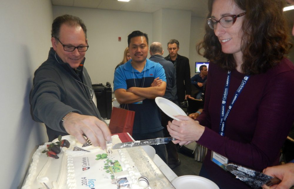 Rebecca Bartlett, GIS and Digital Resources Librarian and GIS Day planning committee member, cuts the cake
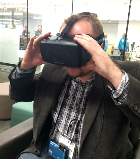
GoGeomatics’ own Jonathan Murphy tries out the Oculus Rift (and gets a little dizzy)
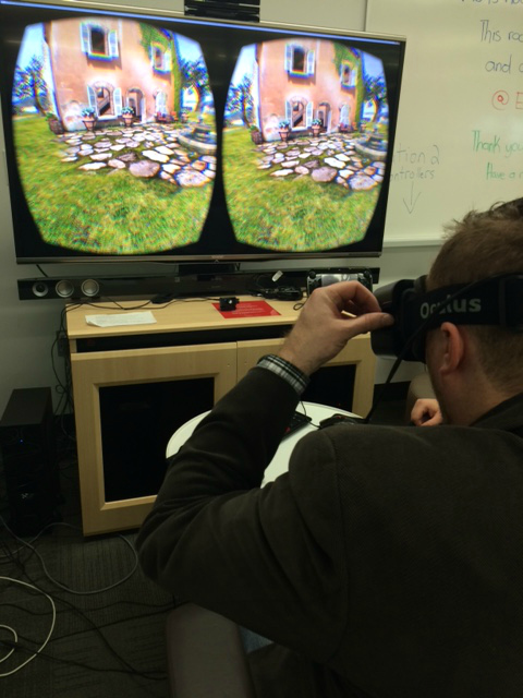
Virtual reality!
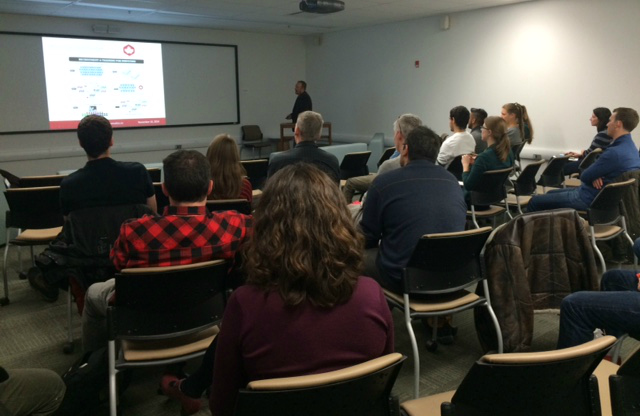
Jonathan Murphy’s presentation: “The Future of Your GIS Career is in Surveying”
See you next year!



Be the first to comment