A new program within the expo is the Hydrospatial program. Here are the first talks announced. More to come!
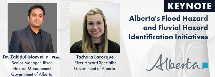
KEYNOTE: Alberta’s Flood Hazard and Fluvial Hazard Identification Initiatives
The Government of Alberta’s Flood Hazard Identification Program enhances public safety and community resilience by producing flood and alluvial fan studies. Since 2020, over 1,600 kilometers of new flood maps covering 60+ municipalities and five First Nations have been created, accessible online via the Flood Awareness Map Application. These maps support emergency management, land-use planning, and flood protection design. Recently, 27 new flood maps were finalized, with more studies underway. Additionally, the alluvial fan inventory released in 2023 highlights hazards in mountainous regions, contributing to comprehensive flood risk management.
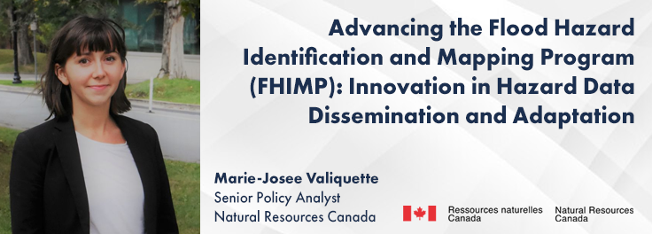
In 2021, the Government of Canada invested $63.8M in the Flood Hazard Identification and Mapping Program (FHIMP) to create flood hazard maps, extended to 2028 with an additional $164M. Natural Resources Canada (NRCan) will update on FHIMP’s progress, with over 200 projects in 300+ locations focused on data acquisition, flood hazard modelling, and map dissemination. The presentation will highlight FHIMP’s comprehensive approach and new regional flood hazard models using AI from the Canada Centre for Mapping and Earth Observation (CCMEO). Lessons learned will inform decision-making, land-use planning, and climate change adaptation.
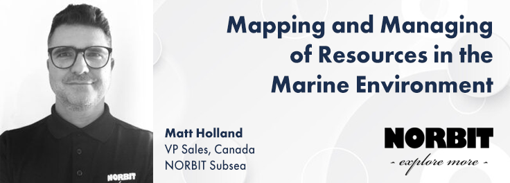
Mapping and Managing of Resources in the Marine Environment
Subsea acoustic sensors, including multibeam sonars and sub-bottom profilers, enhance marine resource management by providing detailed bathymetry, sediment characterization, and subsurface geology. Portable sensors, integrated with satellite and inertial systems, allow data collection in shallow and remote areas using small crafts or Uncrewed Surface Vessels (USVs). This method ensures high-resolution, accurate data while minimizing safety risks.
Efficient data acquisition supports infrastructure inspection, ecosystem studies, and resource management. Bathymetric data, water column mapping, and sub-bottom information reveal critical physical properties, improving analysis and decision-making in marine environments.
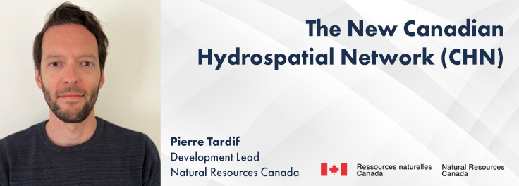
The New Canadian Hydrospatial Network (CHN)
The Canadian Hydrospatial Network (CHN) is replacing the National Hydrographic Network (NHN) to enhance hydrological models with higher resolution and better elevation alignment. Developed by the GeoBase division within the Canada Centre for Mapping and Earth Observation (CCMEO) in Natural Resources Canada (NRCan), the CHN features full-network traversing ability and value-added attributes like stream order. This presentation will cover CHN’s progress and future plans.
Collaborative and open-source methods are used, involving provincial and territorial governments, other federal departments, the USGS, and academia. The CHN leverages high-resolution products from the National Elevation Data Strategy and GeoAI.
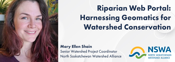
Riparian Web Portal: Harnessing Geomatics for Watershed Conservation
The Riparian Web Portal (www.riparian.info), launched in 2021 by Alberta’s watershed community, enhances riparian health through interactive GIS-based assessments and comprehensive data. Covering over 60,000 km of riparian areas, the portal supports decision-making in riparian management. Its interactive map feature allows users to explore real-world restoration projects, complete with detailed narratives and photographs. The portal also links users to over 75 resources, including grants and incentive programs, to empower landowners in riparian enhancement. This presentation will highlight the portal’s milestones and its role in advancing watershed management through a community-driven approach.









Be the first to comment