Ukraine War Called ‘Catalyst’ for Space-Based Remote Sensing Industry
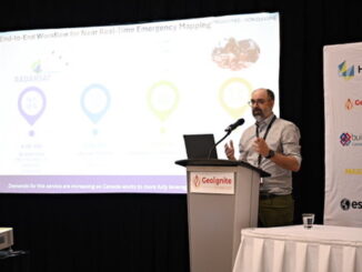
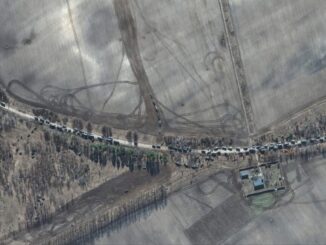
The war in Ukraine is bringing remote sensing technology to the forefront, leaders in the field said recently. The public is seeing images of convoys, shelled buildings, and even muzzles flashing from artillery positions. Maxar Technologies, for instance, has been monitoring events in Ukraine and Belarus, day and night, at land and at sea.

Read more in this article. Additional Maxar images can also be seen here.
International Sea Level Satellite Takes Over From Predecessor
The newest U.S.-European sea level satellite, called “Sentinel-6 Michael Freilich”, recently became the official reference satellite for global sea level measurements. Sea surface height data collected by other satellites will be compared to the information produced by Sentinel-6 Michael Freilich to ensure their accuracy.

Read the article from NASA.
Nvidia launched a mapping product for the autonomous vehicle industry
Nvidia has launched a new mapping platform called Drive Map. The platform will provide the autonomous vehicle industry with ground truth mapping coverage of over 300,000 miles of roadway in North America, Europe, and Asia by 2024. Drive Map follows their 2021 acquisition of DeepMap and uses anonymous, crowdsourced mapping data from vehicles that use Nvidia’s Hyperion architecture.Nvidia launched a mapping product for the autonomous vehicle industry

Check out the article on techcrunch.com.
Infotech Partners with Cultivate Geospatial Solutions to Eliminate Gaps in Digital Project Delivery Data Lifecycle
Infotech announced a partnership with Cultivate Geospatial Solutions (CGS) to track digital as-built data. The companies will focus on integrating GIS capabilities with project data captured in Infotech solutions and delivering geospatial-based products that support the asset lifecycle. Cultivate will also support Infotech’s strategic alliance with Esri.

Read the release here.
Nasa urged to Extend life of key climate sensor that maps world’s forests
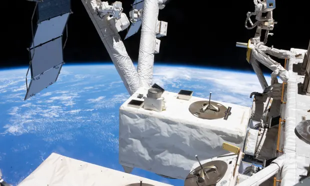
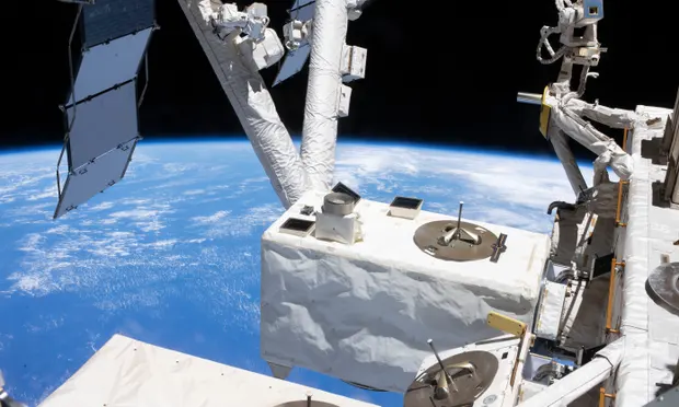
Forest experts and scientists are asking Nasa to extend the life of The Global Ecosystem Dynamics Investigation (Gedi) sensor due to be destroyed in the Earth’s atmosphere early next year. Since 2018, Gedi has been a key climate and biodiversity sensor, providing the first 3D map of the world’s forests. Researchers say the tool is providing crucial data, including helping to monitor the Cop26 commitment from 142 countries to halt and reverse deforestation by 2030.

For more information about Gedi, read this article in The Guardian.


Be the first to comment