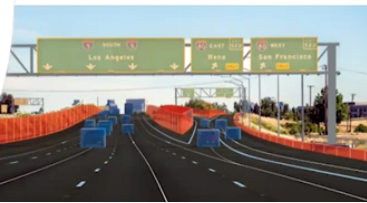

LiDAR 2022 held a live stream presentation on April 5, 2022, with LiDAR News CEO, Gene Roe. Roe spoke on the topic of “Standardizing HD Maps for Autonomous Vehicles”, and the wealth of opportunity it holds.

Roe began the presentation by discussing the three types of maps used today for driving. Navigation maps (the ones often used on smartphones or car navigation systems) are adequate for visualizing the route. They don’t have enough real detail to support autonomous vehicle navigation. The second group is the Advanced Driver Assist System maps, or ADAS, and connected vehicles. They are highly accurate maps for driver assistance. Roe said they could be called “smart maps.” HD maps are the third type and have no standard definition in the industry yet. These are highly accurate maps used in autonomous driving, having details not usually present in traditional maps. The maps provide meter-by-meter data about current and upcoming road information to the driving system.
HD maps often use LiDAR, radar, GPS, and digital cameras for data. Their data sources come from street view data, mobile LiDAR, Aerial LiDAR imagery, crowdsource from AV sensors, and national geospatial databases. HD maps are needed for many reasons, including change management in real-time, all-speed safety, the need to know the road ahead, smooth navigation, providing more accurate positions than sensors, geo-fencing, and correlating traffic light to lane assignment.
Roe continued by speaking about HD map market dynamics. There are no industry standards, transportation agencies aren’t involved in map development, and there is duplication and wasted effort. Other concerns include liability, safety, current and secure data, high costs, collection, and maintenance. Roe then spoke about the business case for standards, which includes the creation of value and opportunity for the people who work on the maps, competitive advantage, reduced environmental impact, and influence.
Solutions for these concerns were discussed by Roe. There needs to be an HD map central database for each country, and transportation agencies need to be involved. Standards need to be developed in an HD map working group, as well as having the maps managed by one organization that will be certified.
You can watch this interesting presentation on YouTube below.


Be the first to comment