Earth Observation
Imagery, Intelligence, and the Changing Geopolitical Landscape
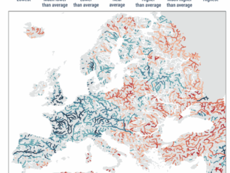
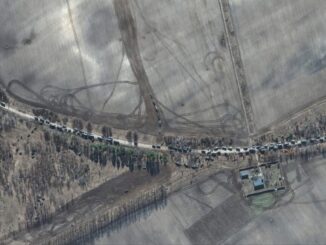
Access to satellite imagery remains as important as ever At the beginning of the Russia-Ukraine war, it became clear that satellite imagery provided critical intelligence to Ukraine from leading companies such as Maxar, BlackSky, and […]