Technology
Effective and Responsible Geospatial Automation
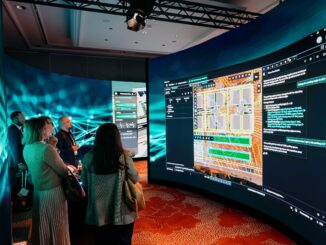
Precision must not be compromised… The allure of automation: entering prompts into your favourite bot, to reduce your workload and streamline tasks. The results can astound. But… Is this leading to a tacit acceptance of […]