Technology
CANADA’S NATIONAL ELEVATION DATA STRATEGY UPDATE NOVEMBER 2023
Fall 2023 LIDAR ACQUISITIONS 2023 IN SUPPORT OF THE FLOOD HAZARD IDENTIFICATION AND MAPPING PROGRAM (FHIMP) Since 2021, Natural Resources…
Land Survey Project Management Software: Cyanic Job Book
Land Surveying Management Software The GoGeomatics workshop on November 7, 2023, led by industry veteran and Cyanic Automation founder Doug…
CHORUS – A Next-Generation Earth Observation Constellation to Tackle Our Planet’s Biggest Challenges
Access to space-based information, in near real-time, about both natural and human-caused disasters, including earthquakes, hurricanes, oil spills and flooding,…
The Power of Integrating Esri Tools with Leading SaaS Environments
In the dynamic landscape of technology, the integration of robust tools becomes a pivotal factor in driving innovation and efficiency…
Canadian Geospatial Digest December 11, 2023
The wildfire-fighting drones of the future. Restoring salmon habitat: An interactive map The maps selected for the 2024 Esri Canada…
Download GNSS Base Data Sooner Rather Than Later
Whether it is for mobile mapping, drone work, asset mapping or surveying static campaigns, taking steps early in the process…
International Geospatial Digest December 4th, 2023
ArcGIS GeoBIM proves critical for Peruvian megaprojects Taylor Geospatial Institute increases hiring Growing the Australian geospatial industry Mapping USA’s food…
From Flames to Data: How deep learning can help in wildfire suppression?
We are driven by our survival tendency. And that compels us to know or be able to predict the future.…
Canadian Geospatial Digest November 27, 2023
Mapping the Semá:th X̱ó:tsa (Sumas Lake) after 2021 BC Floods. Mapping the health of Canada’s lakes. Canadian Geospatial Startups Revolutionizing…
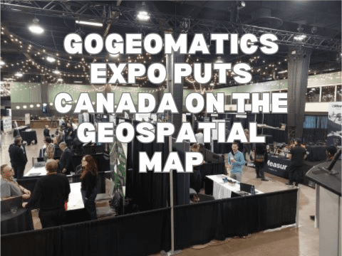
GoGeomatics Expo Puts Canada on the Geospatial Map
In the words of Will Cadell, “Geospatial is changing everything.” That was not only one of the opening lines of…
LiDAR CANEX: Future and Current trends in LiDAR discussions at the 2023 GoGeomatics Expo
At the 1st ever Geospatial Expo in Canada hosted by GoGeomatics, I was privileged to moderate the LiDAR CANEX panel.…
International Geospatial Digest November 20th, 2023
Iceland’s Seismic Activity and Volcanic Forecast Overcoming Skills Gap in Aerial Surveying: A Recruitment Perspective Accelerating Iceberg Mapping: The AI…


