
Technology

Canadian Geospatial Digest for May 13th 2024
UK and Ontario to share knowledge and technology behind the National Underground Asset Register Fleming College in Peterborough suspends 29…

Canada Unveils Strategy for New National Space Council
Canada has unveiled the framework for its new National Space Council. Preliminary details released last week on the Canadian Space…

International Geospatial Digest May 6, 2024
Transforming Archaeology: Unleashing the Power of Location and Geospatial Information The use of location and geospatial information in archaeology, exemplified…
Canadian Geospatial Digest for April 29th 2024
The Alberta team’s research map shows the health impact of climate change By 2100 Lower Mainland will lie below annual…
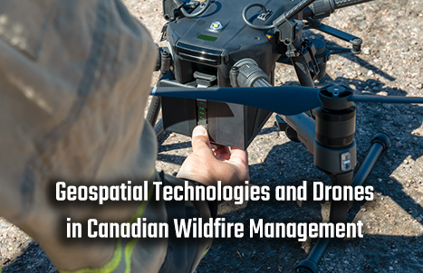
Geospatial Technologies and Drones in Canadian Wildfire Management
Introduction 2023 marked the most severe wildfire year in history, underscoring the crucial need for more effective and efficient wildfire…
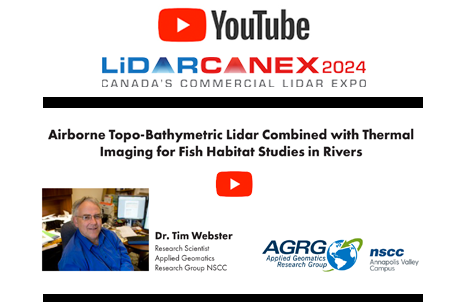
Airborne Topo-Bathymetric Lidar Combined with Thermal Imaging for Fish Habitat Studies in Rivers from LiDAR CANEX 2024
Dr. Timothy Webster, a Research Scientist at the Applied Geomatics Research Group (AGRG) based at Nova Scotia Community College’s Annapolis…
Geospatial Digest for Earth Day April 22nd, 2024
Water Pollution in Ireland Esri Ireland has teamed up with the Dublin Urban Rivers LIFE (DURL) Project to tackle water…

Future technological trends: A Canadian Perspective from LiDAR CANEX 2024
At LiDAR CANEX 2024, a LiDAR panel of experts from different sectors discussed the latest and upcoming trends and services…

International Geospatial Digest for April 15th 2024
US Warns Allies of China’s Military Assistance to Russia The US has issued warnings to its allies about China’s provision…

LiDAR for Post Wildfire Mapping Applications at Lidar CANEX 2024
Kenneth Ang, Project Manager and geomatics Lead at Terra Remote Sensing, recently presented at Lidar CANEX 2024 on LiDAR for…

How the CanSLAM can: Building Canada’s National SLAM Circuit at Lidar CANEX 2024
In a dynamic and informative session at LiDAR CANEX 2024, Alex Hill-Stosky shed light on the groundbreaking initiative known as…

Exploring Geospatial AI: Understanding and Preventing Deforestation
Global forests are one of our most important resources, not only for the service they provide as the lungs of…
