Magazine
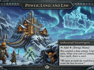
SovereignAI is GeoAI
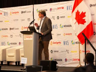
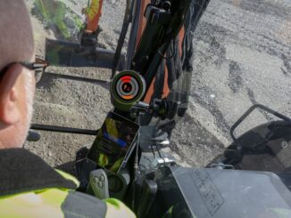
Much of the discussion on SovereignAI in Canada focuses on data centers and connectivity, and those are important, but we should not forget what those data centers will contain and the inferences they will yield. […]