Technology
Canadian BIM and Digital Twin Digest for July 28th, 2022
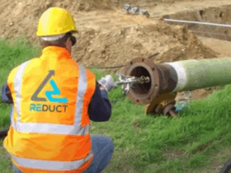
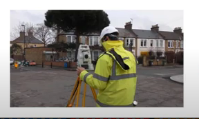
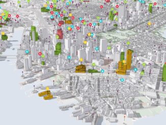
BIM Contracting and Infrastructure Digital Twins Businesses can improve on operating infrastructure assets by changing the way they use BIM (Building Information Modelling.) This requires a change in the industry’s mindset. Integrated use of BIM […]