Community
Are you a COGS Graduate?
Dr. Bob Maher has started to research ‘the story of COGS’. This is a personal project for Bob and his wife, Heather Stewart. They arrived in Lawrencetown in 1980 when Bob along with Bruce Peveril […]
Dr. Bob Maher has started to research ‘the story of COGS’. This is a personal project for Bob and his wife, Heather Stewart. They arrived in Lawrencetown in 1980 when Bob along with Bruce Peveril […]

December 17, 2012 To say that the past semester of school flew by is an understatement. I am still slightly overwhelmed with how much I learnt in such a short amount of time. Since I […]

To continue celebrating women in GIS/Geomatics we would like to introduce Tara Seitz, a GIS Quality Manager and Facilitator at GiQ Inc…. GoGeomatics: Tell us a little bit about yourself. How did your interest in Geomatics […]
“Should you Specialize or Diversify?” Something many of us in geomatics often come across in our careers is whether or not we should be specialized on a specific geomatics aspect (like a certain software or skill set) or […]
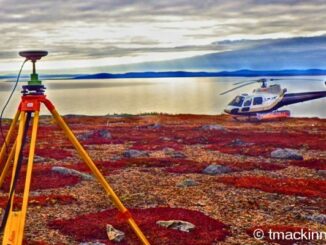
2013 Canadian Geomatics Conferences: Attending GIS, Remote Sensing, Surveying, Cartography, Geography Conferences Please note that we have an updated 2013 Canadian Geomatics Conference list available. With an eye on 2013 GoGeomatics Canada is looking at […]
The Free and Open Source Software (FOSS) model provides interacting tools, plugs ins and processes with which Geospatial Analyst (GA) can create, barter, trade software and knowledge. FOSS GA are motivated by many factors but […]
Modern Canada is internationally renowned for its cartographic practices and strong mapping systems. Canada is host to vast landscapes and diverse in climates and topography. These lands and waters were mapped and surveyed, by many […]
GoGeomatics Canada has compiled a list of the Top Ten Geomatics related Linkedin Groups. Whether it’s Twitter, Facebook or LinkedIn, geomatics content on social media is growing. Photographs, articles, updates on technology, jobs and events […]