New geomatics tech is always exciting when I come across it. So, it was doubly exciting to me that GoGeomatics was the first publication to announce the partnership between NavVis and Cansel to bring some new technology to Canada earlier this year.
Based in Germany, NavVis is one of the world’s leading providers of reality capture solutions. Cansel, one of Canada’s premier geomatics companies, provides engineering, utility, and surveying equipment to Canadian clients. NavVis, the Platinum Sponsor at Canada’s LiDARComex 2022, introduced their exciting technology during that event and Cansel also being another sponsor made the connection.
The new partnership allows Cansel to sell the NavVis VLX technology in Canada.
As a geomatics professional, I ask myself how will this terrestrial 3D laser scanning system fit into our toolkits? What advantages does a new system have? How would it work? What makes the unit so special?
For those who are not aware of the NavVis VLX, let me tell you about it.
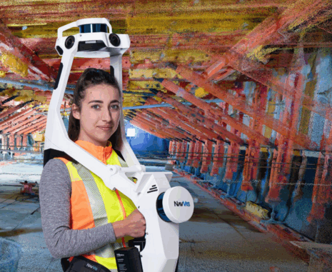
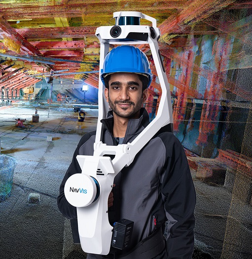
The NavVis VLX is a mobile LiDAR data capture unit. It is a wearable system capturing accurate data as the user walks through an area. The system shines on difficult terrain and environments. An inertial measurement unit (IMU), four cameras for 360-imagery, LiDAR sensors and precision Simultaneous Localisation and Mapping (SLAM) software contribute to a seamless data acquisition by the NavVis VLX, with a point cloud delivery up to 10 times faster than terrestrial 3D laser scanning systems.
While I was at INTERGEO 2022, in Germany, I was able to see how the NavVis VLX system optimizes dynamic scanning in both indoor and outdoor areas. It is reliable, quick, and tough. Reviewing the specs reveals NavVis VLX reliably captures high-quality cloud points and panoramas in any indoor or outdoor environment and conditions. This wearable, mobile system can be used in combination with already-existing equipment such as total stations, drones, terrestrial laser scanners, and GPS/GNSS Rovers.

To understand how this NavVis solution can fit into a Canadian surveyor’s toolkit, I asked some professionals I know to share their insights on this unit.
Geomatics Lead for Terra Remote Sensing, Ken Ang, says, “Supporting the rise of digital twins, this will be a unique tool in the AEC’s professional’s toolbox whereby a geo-referenced high-resolution dataset can be acquired quickly indoors. In addition, time savings will largely be contrasted with tripod-mounted laser scanners.”
Gavin Schrock, Consulting Editor for GoGeomatics Canada, and Surveyor says, “Where vehicle-mounted mobile mapping systems could not reach, and the handheld SLAM scanners were not precise enough, surveyors would have otherwise had to resort to conventional terrestrial scanning campaigns. This has all changed… Now that backpack mapping systems are able to deliver survey-grade precision, they are becoming a valuable addition to surveyor’s toolkits.”
Canadian geomatics professionals can look forward to adding this technology to their toolkits.
To find out more information, visit https://www.navvis.com/vlxhttps://www.navvis.com/vlx
or watch the video below.


Be the first to comment