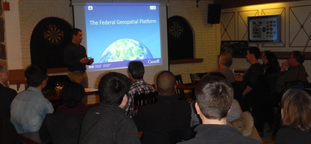
Students, professionals, and senior executives in Ottawa were privileged to get to hear about the Federal Geospatial Platform in it’s first public discussion, on February 27th at the Ottawa Social. Andrew Moore, the Manager of the project, gave the first public discourse on this 40 million dollar project that will change the way geospatial data is warehoused, distributed, and maintained within the federal government.
Less than a year ago, the project was described by Prashant Shukle (Director General, Canadian Centre for Remote Sensing – Geomatics Canada, Earth Sciences Sector, Department of Natural Resources) to the Government Operations and Estimates Committee this way:
“Together, we are currently working towards a federal geospatial platform that will make federal government geo-data available through the government’s open data portal, as well as support the sharing and reuse of data within the government.”

It was standing room only during Andrew’s talk. In attendance were many of Ottawa’s leading geospatial experts and leaders. Andrew has been kind enough to share his slides with GoGeomatics and the community, as well as provide an email address that you can send your questions to. English presentation here. French presentation here.
We have invited Andrew back to give us an update on the project in one year from now. We’re looking forward to seeing how this project evolves!


Be the first to comment