


GeoIgnite 2026, Canada’s national geospatial leadership conference, was held in Ottawa from May 11 to 13. It brought together leaders from government, industry, academia, Indigenous organizations and international partners to discuss the role of geospatial […]
Geodesy moves into everyday workflows Cool Cities Lab turn urban heat data into real decisions The limits of satellite flood monitoring Using geospatial data to guide emergency blood deployment Brazil and FAO simplify access to […]
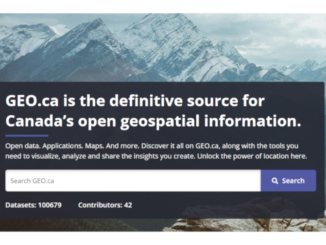
In an era where data drives decisions—from climate resilience to urban planning—having a reliable “digital twin” of our country is essential. Whether you are a professional GIS analyst mapping infrastructure, a researcher studying environmental shifts, […]
Be the first to comment