On May 7th GoGeomatics Canada attended the URISA Ontario: Be Spatial 2013 conference in Stoney Creek. If you follow us on Twitter @GoGeomatics you would have seen the blackberry photos of the event. We also attended the GISP workshop the day before which was given by Tripp Corbin, CFM, GISP. Do you have your GISP yet? We’ve got a number of photos below of the day and the fun we had.
The event was a huge success. The URISA Be Spatial 2013 sold out with 250 people and the venue at maximum capacity. The URISA Ontario executive team and volunteers did a great job. A big thank-you to Jasna Filipovic and Sandra Crutcher who we worked with closely preparing for the event. We hope to see you next year.
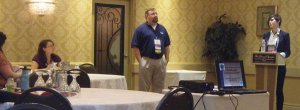
Tripp Corbin & Jasna Filipovic Speaking at the GISP Workshop
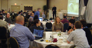
URISA Ontario: Be Spatial 2013 Main Room
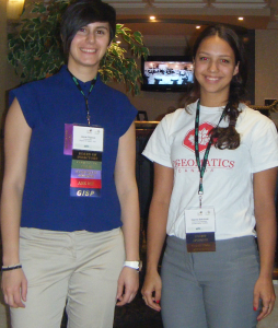
Jasna (URISA Ontario) & Deanna (GoGeomatics Canada)
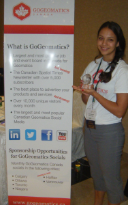
GoGeomatics Canada Wins a URISA Innovation Award
Don’t miss URISA-Ontario’s 14th Annual Summer Event
Geospatial Seminar & Golf Tournament
June 13, 2013
Cherry Downs Golf & Country Club 2110 Concession #7 Pickering, Ontario
Join your URISA Ontario peers for an informative Program Session followed by an afternoon golf tournament!
Format: 18-Hole Shotgun Start – 4 Person Scramble. For course details, visit the Cherry Downs Website


Be the first to comment