

Geomatics is a diverse and interdisciplinary field that is constantly evolving and demanding new skills of GIS professionals as new technologies emerge. However, this is not reflected in the Government of Canada’s National Occupation Classification (NOC) scheme. The NOC codes are a system for categorizing job titles in Canada that in many ways are the base for all processes related to employment and education in Canada. They are used to conduct labour market studies, by HR and hiring managers to write job descriptions and hire new employees, and by the federal government to evaluate immigration applications.
NOC codes are also the foundations for the Classification of Instructional Programs (CIP) codes, which have far-reaching effects on post-secondary programming. They are used for categorizing higher education programs. Unfortunately, CIP currently categorizes GIS as a social science, and not as a STEM discipline. This affects program funding, available scholarship money, makes international students ineligible for studies under post-graduate work permits, and has even resulted in the closure of some geomatics programs across the country.
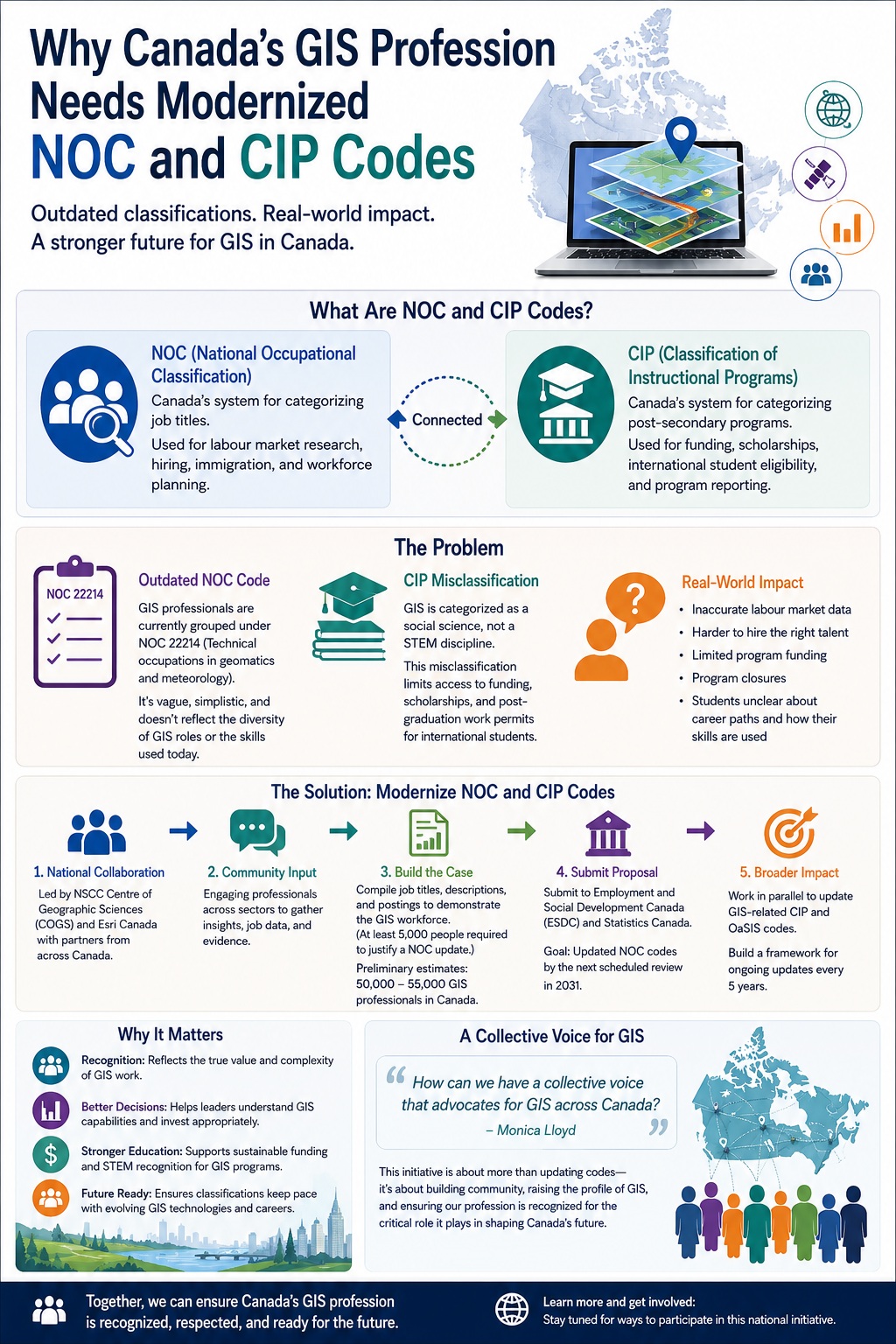
The current NOC code for geomatics professions is 22214 (Technical occupations in geomatics and meteorology). The jobs described under this NOC code are increasingly vague, simplistic, and outdated in terms of the diversity of professionals working in the GIS field today and the multitude of skills demanded of them. This has far-reaching consequences like inaccurate labour market studies, difficulties hiring employees with the right skill set, lack of funding for geomatics programs at the post-secondary level and making the transition to the workforce hard for students in terms of understanding their career options and how their skills are useful.
Updating the NOC Codes
A project spearheaded by the Nova Scotia Community College, Centre of Geographic Sciences (NSCC COGS) and Esri Canada is looking to change this. By putting together a proposal to Employment and Social Development Canada (ESDC) and Statistics Canada they are planning to get the NOC code that GIS professions fall under updated to be more in line with the realities of the current labour market.
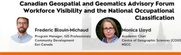
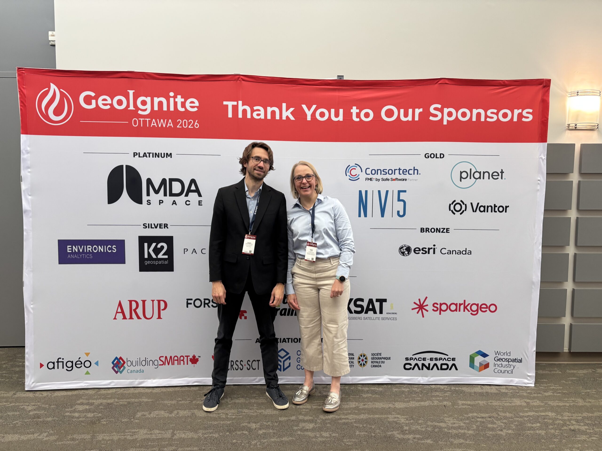
Two of the leaders of this project, Monica Lloyd, Academic Chair at the Nova Scotia Community College Centre and of Geographic Sciences and Frédéric Blouin-Michaud, program manager for the GIS Professional Community Development Program at Esri Canada, hosted a forum session on the topic in May at GeoIgnite. Afterwards I sat down with them to learn a bit more about the project, their goals, and takeaways from GeoIgnite.
Workforce Visibility and the NOC at GeoIgnite
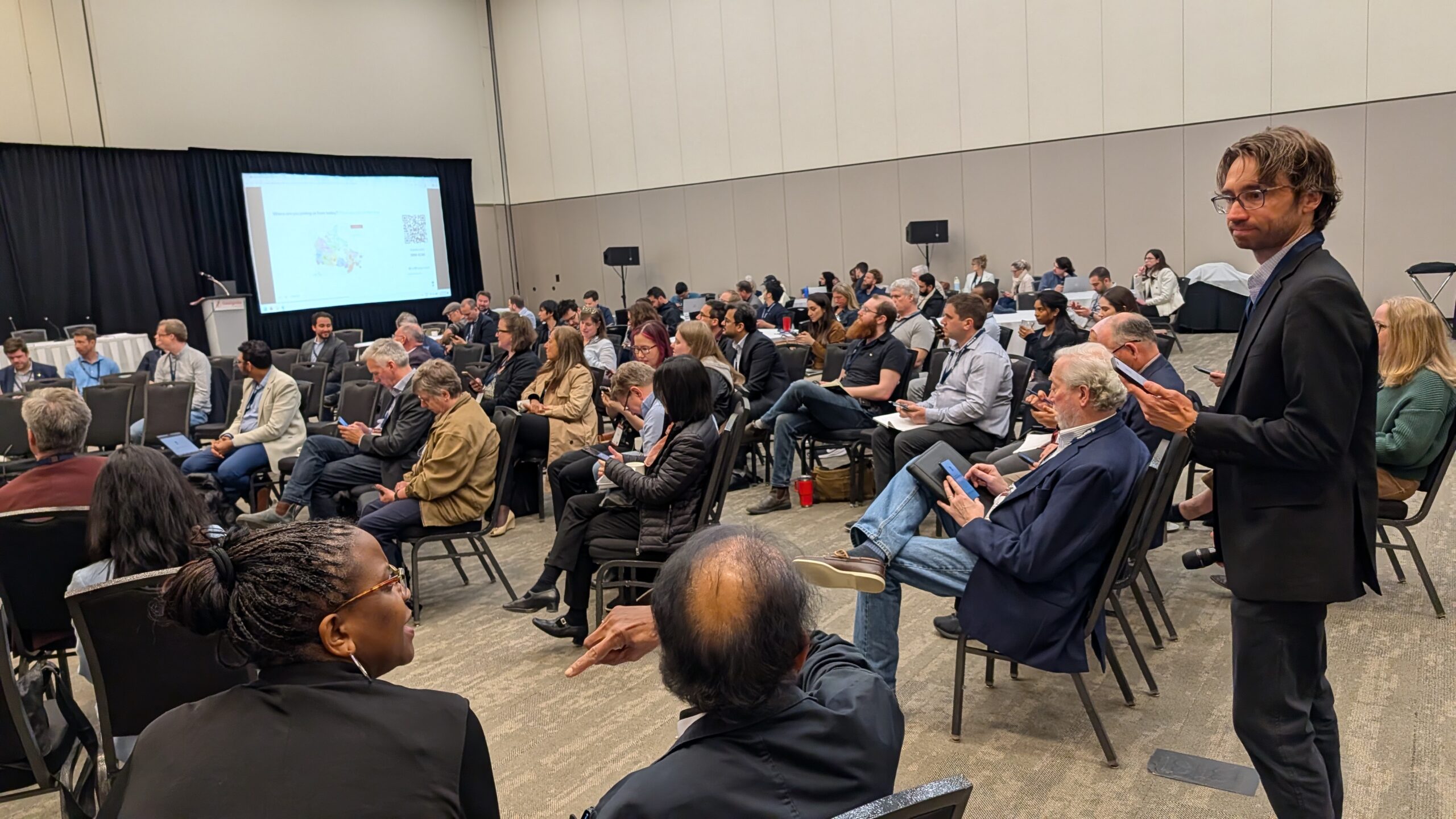
The forum was an opportunity to get valuable input from professionals and leaders across the geomatics community. As Blouin-Michaud explained, some of the goals of the session included increasing awareness of this initiative, gathering insights from the participants, and using those insights to develop a statement summarizing the importance of the project.
The final statement created based on the participant survey conducted during the session was as follows:
The misalignment of GIS roles and titles in official classifications such as the NOC and CIP leads to underestimation of GIS’s role in decision-making and outcomes and limited understanding of how GIS integrates with other functions or systems that impact interactions with leadership and executives and the broader organization. Updating the classifications would result in improved understanding of GIS as a strategic and multidisciplinary field, and greater awareness of GIS capabilities among leaders and decision-makers.
“Professionals working in the GIS sector feel like they need to explain the importance of the specialty work that they do.”
The key takeaway from the session was therefore that the work of GIS professionals is misunderstood and underestimated, particularly by leadership. Improving the NOC and CIP codes and consequently improving the wider understanding of why GIS matters, would help improve decision-making and proper budgeting. As Lloyd stated, currently “professionals working in the GIS sector feel like they need to explain the importance of the specialty work that they do.” Blouin-Michaud also highlighted another topic that came up in the forum: the need for more GIS professionals in leadership positions in organizations, a sentiment that was also echoed at other points during the conference.
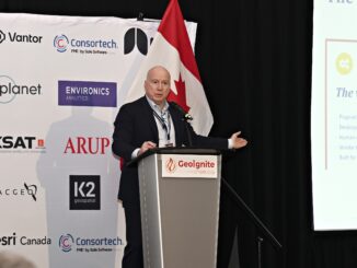
GeoIgnite 2026 Open forum with COGS and Esri Canada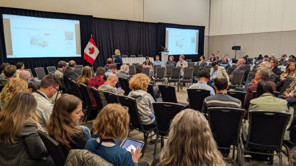
Next Steps
Lloyd and Blouin-Michaud’s GeoIgnite forum served as the project’s soft launch. Since then, the initiative has continued to gain momentum, with its first working group meetings held in May and June. The group includes representatives from across Canada and a range of sectors, including municipal government, provincial and federal agencies, academia, and the private sector. Recognizing the importance of Indigenous perspectives, the group is committed to engaging Indigenous communities and seeking their feedback as its work evolves. Working group members are sharing this initiative within their respective sectors, communities and associations across the country. Project sharing continues with presentations to participants of the Canadian Cartographic Association at their annual conference and to the Geomatics Association of Nova Scotia during their AGM.
The goal of the working group is to submit the proposal later this year, but this is no small task. Creating the proposal involves gathering job titles, descriptions, and postings to provide evidence to justify the change. In order to make a NOC update evidence that there are approximately 5000 people working in the sector is needed. Based on preliminary research, they are estimating the GIS workforce in Canada consists of 50,000 to 55,000 people. Once the proposal is drafted, there will be an advisory board formed and town hall presentations. The aim is to bring a larger GIS community together and to open up the discussion to those not able to commit to being in the working group. Suggestions brought forward from the advisory board will aid with the final review and submission with a goal to have the codes updated for the next scheduled update in 2031.
In the meantime, they will also be working on the quicker process of getting GIS-related codes updated in the CIP system, and the Occupational and Skills Information System (OaSIS) which describes the skills and knowledge required for jobs in Canada.
These changes are long overdue, and Blouin-Michaud pointed out that similar projects have been done in other countries, as well as with other professions in Canada such as the land surveyors.
But as they both told me, the goals of this project go beyond simply updating the codes. Lloyd stated that it’s also about asking the question, “How can we have a collective voice that advocates for GIS across the country?”, and the long-term goal of building community within the GIS profession and being a strong voice for the profession.
“How can we have a collective voice that advocates for GIS across the country?”
Blouin-Michaud also highlighted how this work will be important going forward “because we’re going to provide updates now, but we’re going to need to provide updates in the future. We’re putting in the framework so we can be successful in the future as well, and update this more regularly, maybe every five years.” As GIS continues to evolve and new technologies are created, the NOC codes will once again inevitably become outdated and there will be new professions and specializations in need of recognition, and when this happens the work will be in place to make those GeoIgnite changes easier.

Very interesting article
thank you for shedding light on this initiative.
Modernizing the NOC and CIP classifications seems long overdue, and I really hope it will lead to an updated NOC in the next revision. As a GIS analyst in France who follows the Canadian geomatics ecosystem with great interest, I’ve often found it difficult to understand where certain GIS roles actually fit within the current NOC framework. Depending on the job description or educational background, it can sometimes seem like a role could fall under NOC 22214, 21223, or even 21234.
A more accurate classification would not only strengthen the recognition of GIS as a strategic and multidisciplinary field, but also better reflect the wide range of professions it encompasses. It could also help support geomatics education through improved funding opportunities while making career pathways clearer for both students and internationally trained professionals.
I wish the working group every success with this important initiative.