
- RCGS returns to Quest and Terra Nova with digital mapping technology
- University of Victoria’s MARMOTSat begins its mission in orbit
- Belleville reviews GIS practices after accidental data exposure
- GNSS resilience moves from a technical issue to a strategic priority
- The PHAROS project rebuilds the Lighthouse of Alexandria digitally
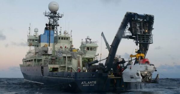
RCGS returns to Quest and Terra Nova with digital mapping technology
The Royal Canadian Geographical Society and Woods Hole Oceanographic Institution are launching a new expedition to conduct the first detailed visual surveys of the historic shipwrecks Quest and Terra Nova. Using remotely operated vehicles, high-resolution imaging, and photogrammetric mapping, the team will create digital twins of both wrecks, allowing researchers to study them in remarkable detail without disturbing the sites. Beyond preserving an important chapter in the history of polar exploration, the expedition highlights how modern geospatial technologies are transforming underwater archaeology. Digital mapping is making it possible to document fragile cultural heritage with unprecedented accuracy while creating long-term records that can be explored and studied by researchers around the world
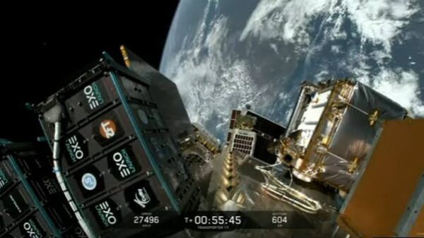
University of Victoria’s MARMOTSat begins its mission in orbit
The University of Victoria’s MARMOTSat has successfully launched into orbit aboard SpaceX’s Transporter-17 mission, marking a major milestone for one of the Canadian Space Agency’s CubeSats Initiative in Canada for STEM (CUBICS) projects. Built by a team of students and researchers, the CubeSat will study the ionosphere using atmospheric radio measurements to better understand how its structure and composition are influenced by human activities associated with climate change. Beyond the science, the mission highlights the growing role of CubeSats in expanding access to space research. Smaller, lower-cost satellites are giving universities the opportunity to design, build, launch, and operate their own missions, helping train the next generation of space scientists and engineers while contributing valuable Earth observation data.
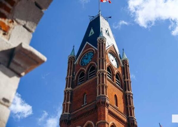
Belleville reviews GIS practices after accidental data exposure
The City of Belleville is reviewing its internal processes after an administrative error made limited personal information publicly accessible through part of its municipal GIS mapping system. The exposed information included property assessment records along with some contact details, such as telephone numbers and email addresses. City officials emphasized that the incident was not the result of a cyberattack but of a configuration error, and access to the information was removed as soon as the issue was identified. While GIS platforms are designed to improve public access to spatial information, this incident is a reminder that transparency must be carefully balanced with privacy. As geospatial systems become more integrated with public records, strong data governance and regular oversight are just as important as the technology itself.
GNSS resilience moves from a technical issue to a strategic priority
Global Navigation Satellite Systems (GNSS) power everything from navigation and aviation to communications, emergency response, and critical infrastructure. But growing incidents of signal jamming and spoofing are exposing just how vulnerable these systems can be. Recent conflicts have shown that disrupting positioning, navigation, and timing (PNT) services can have consequences far beyond the battlefield, affecting civilian transportation and other essential services. As a result, attention is shifting toward more resilient alternatives, including multi-constellation GNSS, improved inertial navigation, and emerging quantum positioning technologies. The conversation is no longer just about improving accuracy, it is about ensuring critical systems continue to function when satellite signals are disrupted.

The PHAROS project rebuilds the Lighthouse of Alexandria digitally
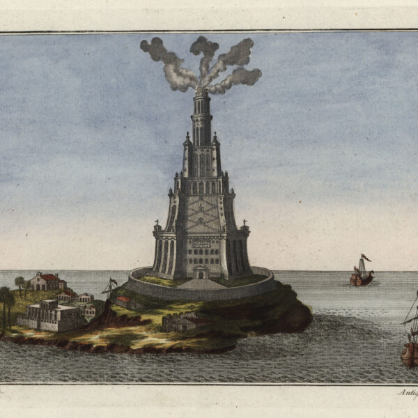
The PHAROS project has recovered 22 massive stone blocks from the remains of the Lighthouse of Alexandria, one of the Seven Wonders of the Ancient World. But the real breakthrough is what happens next. Using high-precision photogrammetry and advanced 3D simulation, researchers will create a digital twin of the lighthouse to better understand how it was designed, built, and able to withstand centuries of earthquakes before collapsing. The project combines archaeology with technologies more commonly associated with aerospace and automotive engineering, showing how digital reconstruction is becoming an increasingly powerful tool for studying and preserving cultural heritage. As more historic sites are documented in this way, digital twins are opening new possibilities for research without disturbing the original structures.


Be the first to comment