Nominations Are Open: New Awards Program at Canada’s National Geomatics Expo
We are excited to announce the debut of a new awards program at this year’s Canada’s National Geomatics Expo, taking…
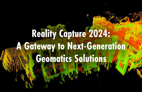
Reality Capture 2024: A Gateway to Next-Generation Geomatics Solutions
Returning to the GoGeomatics Expo October 28th-30th, 2025 is the Reality Capture program. Two of Canada’s rising stars in geomatics,…
Call for Advisory Committee Volunteers: Become a National Geomatics Program Chair!
Join us in shaping the future of Canada’s geomatics expo by serving as a program chair on our advisory committee.…
buildingSMART Canada Joins with GoGeomatics for the Annual Summit at Canada’s National Geomatics Expo
buildingSMART Canada (bSC) is pleased to announce its partnership with GoGeomatics Canada to host the bSC Annual Summit during Canada’s…
Canada Unveils Strategy for New National Space Council
Canada has unveiled the framework for its new National Space Council. Preliminary details released last week on the Canadian Space…
Call for Canadian Public Service Leadership: Geomatics for the Public Good
Are you a public servant using geomatics to drive positive change and showcase its value to citizens? Please consider submitting…
Geospatial AI program at Canada’s National Geomatics Expo
Join us as we look at new advances and interesting ideas in geospatial AI while leveraging the power of geomatics…
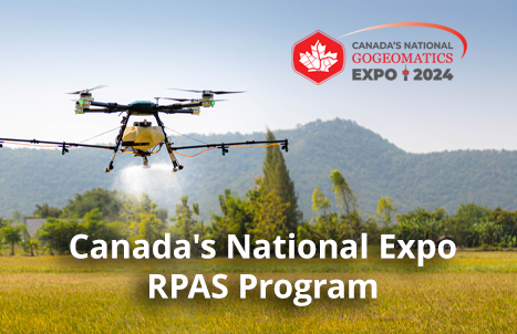
Canada’s National Expo RPAS Program
The RPAS (Remotely Piloted Aircraft Systems) is rapidly emerging as a key tool in the Geospatial industry. With the ever-evolving…
International Geospatial Digest May 6, 2024
Transforming Archaeology: Unleashing the Power of Location and Geospatial Information The use of location and geospatial information in archaeology, exemplified…
Charting New Territories: Collaborative Cartography at the Canadian Cartographic Association Conference
One of the most notable events on the Canadian geomatics calendar is the annual conference hosted by the Canadian Cartographic…
Subsurface Utility Engineering Advances at Canada’s National Geomatics Expo
Canada’s national Geomatics expo is pleased to announce a great new addition to the our tracts. Join us as we…
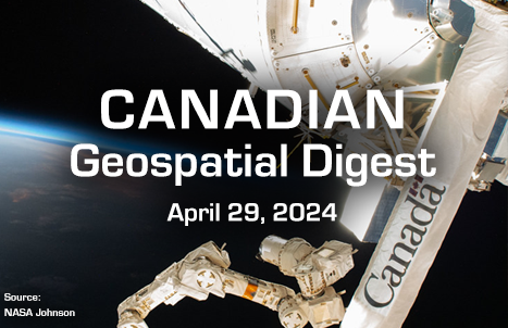
Canadian Geospatial Digest for April 29th 2024
The Alberta team’s research map shows the health impact of climate change By 2100 Lower Mainland will lie below annual…


