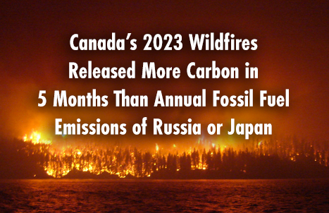
Canada’s 2023 Wildfires Released More Carbon in 5 Months Than Annual Fossil Fuel Emissions of Russia or Japan
We know Canada experienced its most destructive wildfire season ever in 2023, which single handedly drove a nearly a quarter of increase…
Association Sponsors Announced for Canada’s National Geomatics Expo
We are pleased to announce and express our sincere gratitude to the association sponsors supporting the 2024 National Geomatics Expo…
The CanSLAM Circuit: Advancing Geomatics Through Innovation and Collaboration
What an incredible time to be a mapping professional! Infrastructure the world over continues to change for the better (and…
Interview: The Crucial Role of Geospatial Data and AI in Building a National Flood Strategy for Canada
Canada has faced a surge of extreme weather events in recent years, with devastating floods impacting communities nationwide. These events…
NavVis redefines handheld reality capture with the launch of NavVis MLX
NavVis announces the launch of NavVis MLX, the first professional handheld dynamic scanning system that combines ergonomic design with high…
Interview: Overcoming BIM Barriers and Advancing Construction Standards in Canada
Building Information Modeling (BIM) is revolutionizing the construction industry globally, yet Canada faces unique challenges in adopting this technology more…
Discover the Full Program and Activities of Canada’s National Geomatics Expo 2024
The Canadian geomatics community is moving into high gear for Canada’s National Geomatics Expo 2024, we are ready to unveil…
Geospatial Advances Using Machine Learning and AI
Artificial Intelligence is complex, but understanding it is relatively simple. -Peter Srager Feed it data, give it a goal, and…
Knowing What’s Below: Maps Save Lives at SUMSF
Steve Slusarenko, Director of Subsurface Utility Map Data Exchange (SUMDEx), presented live at SUMSF 2024. This presentation, “Knowing What’s Below:…
Balancing the AI and Human Elements of Geospatial Applications
Developers of solutions for geospatial applications have integrated elements of AI for decades. The latest, more powerful (and popularized) wave…
Canadian Geospatial Digest for September 9th, 2024
McElhanney Wins 2023 Award of Excellence: A Big Win for Canada’s Geomatics Sector Mapping Montreal’s Bike Paths: GIS on Two…
Phasor Engineering Inc. Recruits at GeoIgnite Career Fair
Discover career opportunities with Phasor Engineering at the GeoIgnite Career Fair in Calgary on October 29-30, 2024. Phasor is the…


