
2021
Canadian Wildfire Mapping Resources 2021 Fire Season
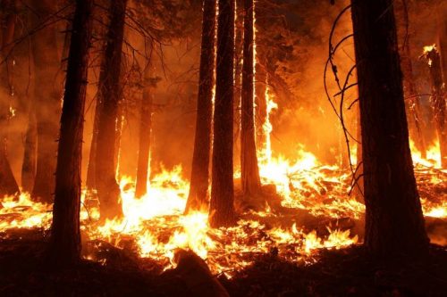
Western Canada has been experiencing extreme fire conditions following an intense heatwave since late June. According to BC Wildfire Service,…

Avenza Quality Cartographic Output For Data With Adobe Illustrator & MAPublisher – GeoIgnite 2021 Talk On YouTube:
Adobe Illustrator is not a tool you’d associate with geospatial work, but Avenza is here to show you how to…
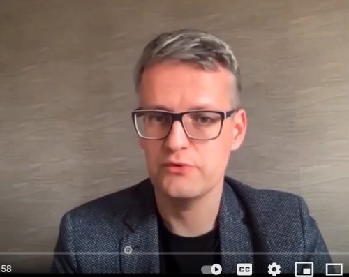
GIS & Beyond: Smart Software Solutions Made In Poland from GISPartner, GeoIgnite 2021 Talk On YouTube
Day Three of the GeoIgnite conference featured Gold Sponsor GISPartner. They continue to make waves as a dynamically developing European…

Disaster Management Made Difficult by the Pandemic – Drones to the Rescue!
Natural disasters, to say the least, have jeopardized the livelihood of millions, and the Rohingya refugees in Bangladesh are not…

A History of Everest Mapping
As awe inspiring as the mountain is, so are the maps. Mount Everest is often considered “a symbol of something…
Centre of Geographic Sciences (COGS) Opens $9 million Geographic Innovation Centre and Residence
On July 6th, Iain Rankin, Nova Scotia’s premier, was in the Annapolis Valley to unveil the provinces 9 million dollar…

Planet: “Advances in Earth Observation & Analytics Technologies + Deployment in Forest & Climate Solutions” – YouTube Video GeoIgnite 2021
Every day, Planet images the full Earth at 3.5m resolution and anywhere sub-daily at <50cm. This data is critical in…

Geospatial Metadata: The Ties That Bind- Tobias Spears, Head of the Ocean Data & Information Section at Fisheries & Oceans Canada – GeoIgnite Talk on YouTube
The Government of Canada and organizations such as the UN recognize the critical role of standards in geographic information and…
Fully funded MSc project for pre-European settlement forest inventory: Dept of Geography, Planning and Environment Concordia University, Montreal
Concordia is looking for a highly motivated and research driven student with background in forestry, ecology, environmental geography or a…
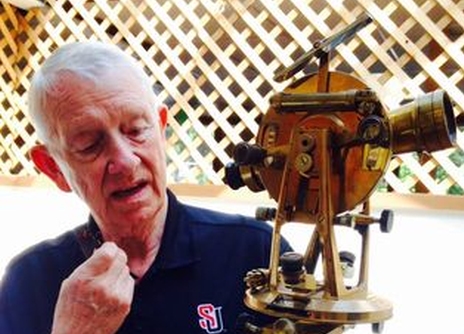
Application of Weights in Surveying Measurements
We all know that some measurements are better than others, even in the same survey. For example, if we are…

GeoIgnite Keynote On YouTube: “Why it Takes a Legion” MAXAR’s Walter Scott
Not all commercial satellite companies are the same. On Day Two of GeoIgnite, there was a special lunchtime keynote presentation…

YouTube: “Why is an AI company designing Canada’s hydro database?”
Vancouver-based cognitive AI company Minerva Intelligence is working on the first major update to the Canadian National Hydro Network (NHN) since…
