
2021

Making Corporate Decisions using Geospatial Data: Agriculture Agri-Food Canada
Agriculture and Agri-Food Canada supports the Canadian agriculture and agri-food sector through initiatives that promote innovation and competitiveness. In his…
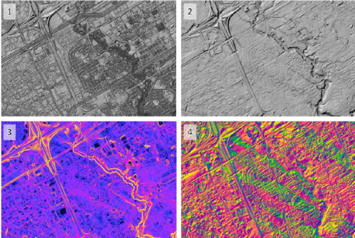
CANADA’S NATIONAL ELEVATION DATA STRATEGY UPDATE
Fall 2021 LIDAR ACQUISITIONS 2021 The 2021 LiDAR acquisition period is already coming to an end. In addition to integrating…

Holiday Wishes & Happy New Year from the GoGeomatics Canada Team
From all of us at GoGeomatics Canada we are wishing you the best for 2021. Whatever is beautiful. Whatever is…

British Columbia Challenger Map
See B.C. in all its 3D glory as giant Challenger Relief Map returns to PNE after 23 years The Challenger…

Top 5 Reasons Your Boss Should Invest in Your Geospatial Skills
If you’re reading this, chances are you work in some area of geomatics. That being the case, your technical skills…

Women in Geospatial+ Writing Competition 2021 Winner Announced
The Women in Geospatial+ Writing Workshop, held online in September of 2021, included a practical exercise: a writing competition for…

Canadian Council on Geomatics (CCOG) – Fostering Collaboration Across Canada’s Jurisdictions
The Canadian Council on Geomatics (CCOG) has been working for over 50 years with the federal government to help with…

Half Day Workshop: Learn GIS Project Management, Dec 2nd
It is one thing pushing buttons to create a map, and a very different ballgame planning and managing work at…

Statistics Canada’s virtual GIS Day
GIS day is a great opportunity for all GIS communities to come together and network. Statistics Canada hosts its second…

Upgrade Your Skills with GeoTech Training: New Courses Announcement
GeoTechTraining.com has arranged the latest geo technology trends and techniques training led by leading industry experts in a safe and…

Geo Week Awards
November 1, 2021, Denver, CO – Geo Week, the single powerhouse event that champions the coming together of geospatial technologies…

The Canadian Geodetic Survey – Supporting Accurate Geospatial Positioning in Canada
NRCan’s Canadian Geodetic Survey is responsible for defining, maintaining, and providing access to the Canadian Spatial Reference System (CSRS). In…
